Area Overview for IP22 2AT
Photos of IP22 2AT
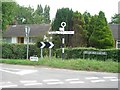
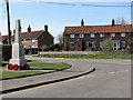
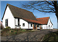
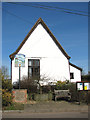
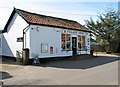
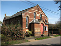
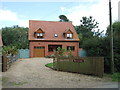
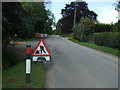
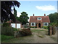
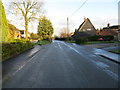
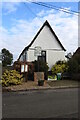
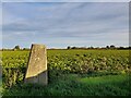
43 photos from this area
Area Information
Key information about the IP22 2AT including its size, population, and administrative classification.
- Area Type
- Postcode
- Area Size
- 55.6 hectares
- Population
- 1236
- Population Density
- 54 people/km²
House Prices in IP22 2AT
57
Properties
£257,097
Average Sold Price
£45,000
Lowest Price
£540,000
Highest Price
Showing 57 properties
| Address | Type | Beds | Baths | Last Sale Price | Last Sale Date | |
|---|---|---|---|---|---|---|
| Walnut Cottage, High Road, Bressingham, IP22 2AT | Detached | 3 | 2 | £500,000 | Nov 2023 | |
| Fieldview, High Road, Bressingham, IP22 2AT | Bungalow | 3 | 1 | £365,000 | Oct 2022 | |
| Darsdale, High Road, Bressingham, IP22 2AT | Bungalow | - | - | £375,000 | Apr 2022 | |
| Ashcroft, High Road, Bressingham, IP22 2AT | Bungalow | - | - | £245,000 | Jan 2022 | |
| Thatchers, High Road, Bressingham, IP22 2AT | Cottage | 4 | 1 | £540,000 | Jun 2021 | |
| Dadreen, High Road, Bressingham, IP22 2AT | Bungalow | 3 | 1 | £365,000 | Sep 2020 | |
| Maardlin, High Road, Bressingham, IP22 2AT | Bungalow | 2 | - | £238,000 | Oct 2019 | |
| Chapel House, High Road, Bressingham, IP22 2AT | Detached | 3 | 2 | £100,000 | Oct 2018 | |
| Samsons Lodge, High Road, Bressingham, IP22 2AT | house | - | - | £154,000 | Apr 2018 | |
| The Grange, High Road, Bressingham, IP22 2AT | Detached | - | - | £45,000 | Feb 2018 |
Page 1 of 6
Energy Efficiency in IP22 2AT
Amenities
Schools
| Rank | School | Type | Entry gender | Ages |
|---|
Explore more schools in this area
Go to Schools tabDemographics
Household Size
Two person
most common
Accommodation Type
Houses
most common
Tenure
80
majority
Ethnic Group
White
most common
Religion
N/A
most common
Household Composition
N/A
most common
Age
47
median
Adults (30-64 years)
most common
Household Deprivation
N/A
with no deprivation
NS-SEC
33
in Lower managerial occupations
Explore more demographic insights in this area
Go to Demographics tabPlanning
Planning Constraints
- Flood RiskPremium
- Ramsar Wetland SitesPremium
- Area of Outstanding Natural BeautyPremium
- Protected Nature ReservePremium
- Protected WoodlandPremium