Area Overview for IP22 2AQ
Photos of IP22 2AQ
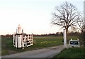
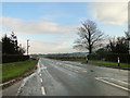
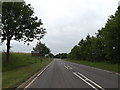
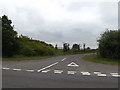
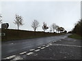
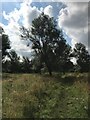
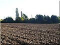
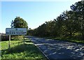
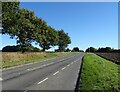
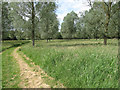
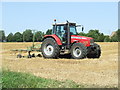
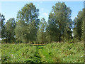
20 photos from this area
Area Information
Key information about the IP22 2AQ including its size, population, and administrative classification.
- Area Type
- Postcode
- Area Size
- 66.4 hectares
- Population
- 1236
- Population Density
- 54 people/km²
House Prices in IP22 2AQ
14
Properties
£397,111
Average Sold Price
£185,000
Lowest Price
£775,000
Highest Price
Showing 14 properties
| Address | Type | Beds | Baths | Last Sale Price | Last Sale Date | |
|---|---|---|---|---|---|---|
| Fenside, Fen Street, Bressingham, IP22 2AQ | house | - | - | £775,000 | Feb 2023 | |
| Fen Farm, Fen Street, Bressingham, IP22 2AQ | Farm | 4 | 1 | £423,500 | Oct 2018 | |
| Fox Covert, Fen Street, Bressingham, IP22 2AQ | house | - | - | £185,000 | Oct 2015 | |
| Waveney Rising, Fen Street, Bressingham, IP22 2AQ | house | 3 | - | £440,000 | Apr 2008 | |
| The Chapel, Fen Street, Bressingham, IP22 2AQ | Detached | - | - | £200,000 | Nov 2005 | |
| Pear Tree Farm, Fen Street, Bressingham, IP22 2AQ | Detached | 3 | 2 | £239,500 | Feb 2005 | |
| Chapel Cottage, Fen Street, Bressingham, IP22 2AQ | Detached | 4 | 2 | £391,000 | Oct 2004 | |
| Three Gates Farm, Fen Street, Bressingham, IP22 2AQ | Detached | - | - | £725,000 | Oct 2002 | |
| The Brambles, Fen Street, Bressingham, IP22 2AQ | Detached | - | - | £195,000 | Oct 2000 | |
| New Bungalow, Fen Street, Bressingham, IP22 2AQ | Land | - | - | - | - |
Page 1 of 2
Energy Efficiency in IP22 2AQ
Amenities
Schools
| Rank | School | Type | Entry gender | Ages |
|---|
Explore more schools in this area
Go to Schools tabDemographics
Household Size
Two person
most common
Accommodation Type
Houses
most common
Tenure
80
majority
Ethnic Group
White
most common
Religion
N/A
most common
Household Composition
N/A
most common
Age
47
median
Adults (30-64 years)
most common
Household Deprivation
N/A
with no deprivation
NS-SEC
33
in Lower managerial occupations
Explore more demographic insights in this area
Go to Demographics tabPlanning
Planning Constraints
- Flood RiskPremium
- Ramsar Wetland SitesPremium
- Area of Outstanding Natural BeautyPremium
- Protected Nature ReservePremium
- Protected WoodlandPremium