Area Overview for IP21 5RH
Photos of IP21 5RH
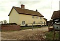
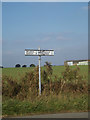
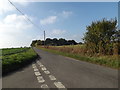
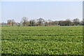
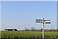
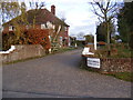
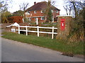
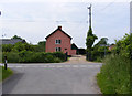
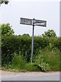
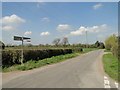
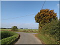
26 photos from this area
Area Information
Key information about the IP21 5RH including its size, population, and administrative classification.
- Area Type
- Postcode
- Area Size
- 65.9 hectares
- Population
- 2036
- Population Density
- 40 people/km²
House Prices in IP21 5RH
9
Properties
£388,125
Average Sold Price
£250,000
Lowest Price
£695,000
Highest Price
Showing 9 properties
| Address | Type | Beds | Baths | Last Sale Price | Last Sale Date | |
|---|---|---|---|---|---|---|
| The Gables, Earsham Street, Wingfield, IP21 5RH | Farm | 6 | 4 | £695,000 | Nov 2016 | |
| Pine Trees, Earsham Street, Wingfield, IP21 5RH | Detached | 4 | 2 | £340,000 | Sep 2016 | |
| Mill House, Earsham Street, Wingfield, IP21 5RH | Detached | 4 | - | £267,500 | Oct 2013 | |
| Moat House Farm, Earsham Street, Wingfield, IP21 5RH | Detached | - | - | £250,000 | Aug 2000 | |
| Oaklands Farm, Earsham Street, Wingfield, IP21 5RH | Detached | 4 | 3 | - | - | |
| Living Accommodation, The Gables, Earsham Street, Wingfield, IP21 5RH | Detached | - | - | - | - | |
| Town Farm, Earsham Street, Wingfield, IP21 5RH | Detached | - | - | - | - | |
| Meadow View, Earsham Street, Wingfield, IP21 5RH | house | - | - | - | - | |
| Yew Tree Farm, Earsham Street, Wingfield, IP21 5RH | house | - | - | - | - |
Energy Efficiency in IP21 5RH
Amenities
Schools
| Rank | School | Type | Entry gender | Ages |
|---|
Explore more schools in this area
Go to Schools tabDemographics
Household Size
Two person
most common
Accommodation Type
Houses
most common
Tenure
79
majority
Ethnic Group
White
most common
Religion
N/A
most common
Household Composition
N/A
most common
Age
47
median
Adults (30-64 years)
most common
Household Deprivation
N/A
with no deprivation
NS-SEC
37
in Lower managerial occupations
Explore more demographic insights in this area
Go to Demographics tabPlanning
Planning Constraints
- Flood RiskPremium
- Ramsar Wetland SitesPremium
- Area of Outstanding Natural BeautyPremium
- Protected Nature ReservePremium
- Protected WoodlandPremium