Area Overview for IP21 5JD
Photos of IP21 5JD
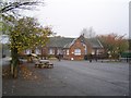
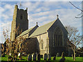
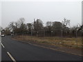
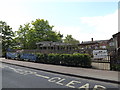
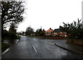
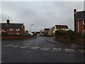
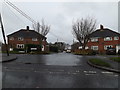
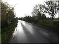
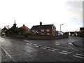
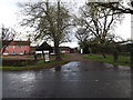
52 photos from this area
Area Information
Key information about the IP21 5JD including its size, population, and administrative classification.
- Area Type
- Postcode
- Area Size
- 2.1 hectares
- Population
- 1753
- Population Density
- 73 people/km²
House Prices in IP21 5JD
16
Properties
£181,500
Average Sold Price
£55,000
Lowest Price
£280,000
Highest Price
Showing 16 properties
| Address | Type | Beds | Baths | Last Sale Price | Last Sale Date | |
|---|---|---|---|---|---|---|
| Prospect Place, 9 Willow Close, Stradbroke, IP21 5JD | Detached | 3 | 1 | £278,000 | Sep 2024 | |
| 5 Willow Close, Stradbroke, IP21 5JD | house | 3 | - | £280,000 | Jun 2022 | |
| 14 Willow Close, Stradbroke, IP21 5JD | Detached | 3 | - | £210,000 | Oct 2015 | |
| 10 Willow Close, Stradbroke, IP21 5JD | Detached | 5 | - | £275,000 | Aug 2015 | |
| 7 Willow Close, Stradbroke, IP21 5JD | Detached | 4 | - | £200,000 | Jul 2014 | |
| 11 Willow Close, Stradbroke, IP21 5JD | house | 3 | - | £165,000 | Aug 2012 | |
| 3 Willow Close, Stradbroke, IP21 5JD | Semi-detached | 3 | - | £170,000 | Apr 2011 | |
| 16 Willow Close, Stradbroke, IP21 5JD | Bungalow | 2 | - | £150,000 | Oct 2007 | |
| 2 Willow Close, Stradbroke, IP21 5JD | Detached | - | - | £169,995 | Sep 2006 | |
| 13 Willow Close, Stradbroke, IP21 5JD | house | - | - | £145,000 | Oct 2002 |
Page 1 of 2
Energy Efficiency in IP21 5JD
Amenities
Schools
| Rank | School | Type | Entry gender | Ages |
|---|
Explore more schools in this area
Go to Schools tabDemographics
Household Size
Two person
most common
Accommodation Type
Houses
most common
Tenure
77
majority
Ethnic Group
White
most common
Religion
N/A
most common
Household Composition
N/A
most common
Age
47
median
Adults (30-64 years)
most common
Household Deprivation
N/A
with no deprivation
NS-SEC
34
in Lower managerial occupations
Explore more demographic insights in this area
Go to Demographics tabPlanning
Planning Constraints
- Flood RiskPremium
- Ramsar Wetland SitesPremium
- Area of Outstanding Natural BeautyPremium
- Protected Nature ReservePremium
- Protected WoodlandPremium