Area Overview for IP21 5AZ
Photos of IP21 5AZ
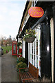
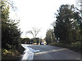
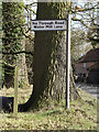
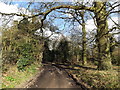
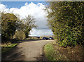
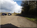
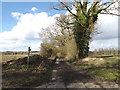
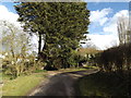
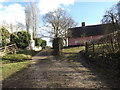
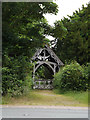
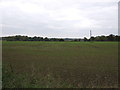
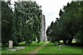
75 photos from this area
Area Information
Key information about the IP21 5AZ including its size, population, and administrative classification.
- Area Type
- Postcode
- Area Size
- 47.8 hectares
- Population
- 2036
- Population Density
- 40 people/km²
House Prices in IP21 5AZ
21
Properties
£538,000
Average Sold Price
£95,000
Lowest Price
£1,190,000
Highest Price
Showing 21 properties
| Address | Type | Beds | Baths | Last Sale Price | Last Sale Date | |
|---|---|---|---|---|---|---|
| Moat House, Green Street, Hoxne, IP21 5AZ | Detached | 4 | 3 | £1,190,000 | Mar 2025 | |
| Saddleback Barn, Green Street, Hoxne, IP21 5AZ | house | - | - | £785,000 | Aug 2024 | |
| Old Corner Barn, Green Street, Hoxne, IP21 5AZ | Detached | - | - | £760,000 | Dec 2023 | |
| Elm House Lodge, Green Street, Hoxne, IP21 5AZ | Detached | - | - | £146,500 | Aug 2023 | |
| Hen House, Green Street, Hoxne, IP21 5AZ | Bungalow | - | - | £650,000 | Jan 2022 | |
| Brakey Cottage, Green Street, Hoxne, IP21 5AZ | Bungalow | - | - | £665,500 | Jan 2022 | |
| 11 Green Street, Hoxne, IP21 5AZ | house | 3 | - | £280,000 | Mar 2011 | |
| Oakwood Cottage, Green Street, Hoxne, IP21 5AZ | Semi-detached | - | - | £270,000 | Mar 2007 | |
| 7 Green Street, Hoxne, IP21 5AZ | Semi-detached | - | - | £95,000 | Apr 1999 | |
| Bramblings, Green Street, Hoxne, IP21 5AZ | Bungalow | 4 | 3 | - | - |
Page 1 of 3
Energy Efficiency in IP21 5AZ
Amenities
Schools
| Rank | School | Type | Entry gender | Ages |
|---|
Explore more schools in this area
Go to Schools tabDemographics
Household Size
Two person
most common
Accommodation Type
Houses
most common
Tenure
79
majority
Ethnic Group
White
most common
Religion
N/A
most common
Household Composition
N/A
most common
Age
47
median
Adults (30-64 years)
most common
Household Deprivation
N/A
with no deprivation
NS-SEC
37
in Lower managerial occupations
Explore more demographic insights in this area
Go to Demographics tabPlanning
Planning Constraints
- Flood RiskPremium
- Ramsar Wetland SitesPremium
- Area of Outstanding Natural BeautyPremium
- Protected Nature ReservePremium
- Protected WoodlandPremium