Area Overview for IP21 4QU
Photos of IP21 4QU
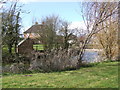
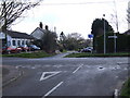
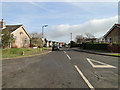

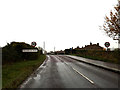
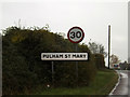
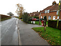
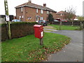
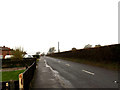
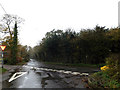
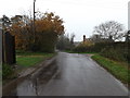
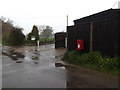
17 photos from this area
Area Information
Key information about the IP21 4QU including its size, population, and administrative classification.
- Area Type
- Postcode
- Area Size
- 3.0 hectares
- Population
- 2293
- Population Density
- 69 people/km²
House Prices in IP21 4QU
20
Properties
£232,900
Average Sold Price
£160,000
Lowest Price
£392,500
Highest Price
Showing 20 properties
| Address | Type | Beds | Baths | Last Sale Price | Last Sale Date | |
|---|---|---|---|---|---|---|
| 13 Norwich Road, Pulham St Mary, IP21 4QU | Retail | 2 | - | £230,000 | Feb 2022 | |
| 5 Norwich Road, Pulham St Mary, IP21 4QU | Bungalow | - | - | £255,000 | Oct 2021 | |
| 8 Norwich Road, Pulham St Mary, IP21 4QU | Detached | 3 | 1 | £160,000 | Nov 2017 | |
| Trevanda, Norwich Road, Pulham St Mary, IP21 4QU | Bungalow | - | - | £220,000 | Sep 2015 | |
| 23 Norwich Road, Pulham St Mary, IP21 4QU | Bungalow | - | - | £245,000 | Jun 2015 | |
| 21 Norwich Road, Pulham St Mary, IP21 4QU | Bungalow | - | - | £187,500 | Nov 2012 | |
| Paddock House, Norwich Road, Pulham St Mary, IP21 4QU | Detached | - | - | £250,000 | Nov 2007 | |
| 1 Norwich Road, Pulham St Mary, IP21 4QU | house | - | - | £392,500 | Nov 2007 | |
| 15 Norwich Road, Pulham St Mary, IP21 4QU | Detached | - | - | £186,950 | Oct 2006 | |
| 19 Norwich Road, Pulham St Mary, IP21 4QU | Detached | - | - | £249,950 | Sep 2006 |
Page 1 of 2
Energy Efficiency in IP21 4QU
Amenities
Schools
| Rank | School | Type | Entry gender | Ages |
|---|
Explore more schools in this area
Go to Schools tabDemographics
Household Size
Two person
most common
Accommodation Type
Houses
most common
Tenure
70
majority
Ethnic Group
White
most common
Religion
N/A
most common
Household Composition
N/A
most common
Age
47
median
Adults (30-64 years)
most common
Household Deprivation
N/A
with no deprivation
NS-SEC
35
in Lower managerial occupations
Explore more demographic insights in this area
Go to Demographics tabPlanning
Planning Constraints
- Flood RiskPremium
- Ramsar Wetland SitesPremium
- Area of Outstanding Natural BeautyPremium
- Protected Nature ReservePremium
- Protected WoodlandPremium