Area Overview for IP21 4EB
Photos of IP21 4EB
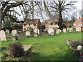
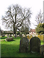
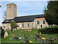
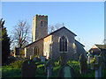
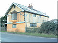
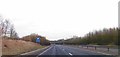
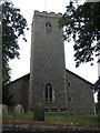
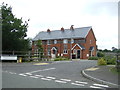
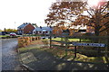
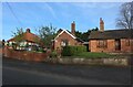
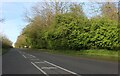
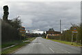
48 photos from this area
Area Information
Key information about the IP21 4EB including its size, population, and administrative classification.
- Area Type
- Postcode
- Area Size
- 4.9 hectares
- Population
- 1037
- Population Density
- 599 people/km²
House Prices in IP21 4EB
55
Properties
£172,669
Average Sold Price
£49,750
Lowest Price
£291,000
Highest Price
Showing 55 properties
| Address | Type | Beds | Baths | Last Sale Price | Last Sale Date | |
|---|---|---|---|---|---|---|
| 32 Reeve Close, Scole, IP21 4EB | Detached | 2 | 1 | £190,000 | Aug 2025 | |
| 4 Reeve Close, Scole, IP21 4EB | house | - | - | £255,000 | Jun 2024 | |
| 21 Reeve Close, Scole, IP21 4EB | Bungalow | - | - | £195,000 | Sep 2023 | |
| 16 Reeve Close, Scole, IP21 4EB | Semi-detached | 3 | 2 | £291,000 | Sep 2022 | |
| 2 Reeve Close, Scole, IP21 4EB | Semi-detached | - | - | £220,000 | Jan 2019 | |
| Garden End, Reeve Close, Scole, IP21 4EB | Bungalow | - | - | £290,000 | Apr 2018 | |
| 36 Reeve Close, Scole, IP21 4EB | Semi-detached | 2 | 1 | £180,000 | Sep 2017 | |
| 15 Reeve Close, Scole, IP21 4EB | Bungalow | 4 | - | £162,500 | Dec 2011 | |
| 42 Reeve Close, Scole, IP21 4EB | Semi-detached | - | - | £118,000 | Jul 2009 | |
| 8 Reeve Close, Scole, IP21 4EB | Semi-detached | - | - | £161,500 | Oct 2005 |
Page 1 of 6
Energy Efficiency in IP21 4EB
Amenities
Schools
| Rank | School | Type | Entry gender | Ages |
|---|
Explore more schools in this area
Go to Schools tabDemographics
Household Size
Two person
most common
Accommodation Type
Houses
most common
Tenure
75
majority
Ethnic Group
White
most common
Religion
N/A
most common
Household Composition
N/A
most common
Age
47
median
Adults (30-64 years)
most common
Household Deprivation
N/A
with no deprivation
NS-SEC
26
in Lower managerial occupations
Explore more demographic insights in this area
Go to Demographics tabPlanning
Planning Constraints
- Flood RiskPremium
- Ramsar Wetland SitesPremium
- Area of Outstanding Natural BeautyPremium
- Protected Nature ReservePremium
- Protected WoodlandPremium