Area Overview for IP20 9EZ
Photos of IP20 9EZ
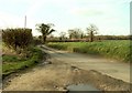
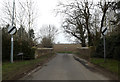
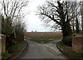
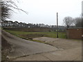
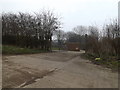
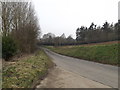
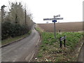
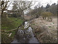
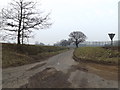
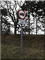
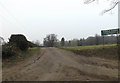
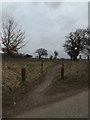
41 photos from this area
Area Information
Key information about the IP20 9EZ including its size, population, and administrative classification.
- Area Type
- Postcode
- Area Size
- 5.1 hectares
- Population
- 1312
- Population Density
- 112 people/km²
House Prices in IP20 9EZ
22
Properties
£194,386
Average Sold Price
£55,000
Lowest Price
£305,000
Highest Price
Showing 22 properties
| Address | Type | Beds | Baths | Last Sale Price | Last Sale Date | |
|---|---|---|---|---|---|---|
| 2 Henry Ward Road, Harleston, IP20 9EZ | Semi-detached | 4 | 1 | £295,000 | Sep 2025 | |
| 6 Henry Ward Road, Harleston, IP20 9EZ | Semi-detached | 3 | 1 | £305,000 | May 2024 | |
| 4 Henry Ward Road, Harleston, IP20 9EZ | Retail | 3 | 1 | £300,000 | May 2022 | |
| 5 Henry Ward Road, Harleston, IP20 9EZ | Semi-detached | 3 | 1 | £258,000 | Mar 2022 | |
| 7 Henry Ward Road, Harleston, IP20 9EZ | Terraced | 2 | 1 | £169,000 | May 2020 | |
| 18 Henry Ward Road, Harleston, IP20 9EZ | Detached | 3 | 1 | £225,000 | Sep 2019 | |
| 8 Henry Ward Road, Harleston, IP20 9EZ | Semi-detached | 3 | 1 | £220,000 | Jul 2017 | |
| 13 Henry Ward Road, Harleston, IP20 9EZ | Terraced | 2 | - | £143,000 | Mar 2016 | |
| 10 Henry Ward Road, Harleston, IP20 9EZ | Detached | 3 | 1 | £238,000 | Jan 2016 | |
| 19 Henry Ward Road, Harleston, IP20 9EZ | Detached | 4 | - | £240,000 | Mar 2012 |
Page 1 of 3
Energy Efficiency in IP20 9EZ
Amenities
Schools
| Rank | School | Type | Entry gender | Ages |
|---|
Explore more schools in this area
Go to Schools tabDemographics
Household Size
Two person
most common
Accommodation Type
Houses
most common
Tenure
78
majority
Ethnic Group
White
most common
Religion
N/A
most common
Household Composition
N/A
most common
Age
47
median
Adults (30-64 years)
most common
Household Deprivation
N/A
with no deprivation
NS-SEC
30
in Lower managerial occupations
Explore more demographic insights in this area
Go to Demographics tabPlanning
Planning Constraints
- Flood RiskPremium
- Ramsar Wetland SitesPremium
- Area of Outstanding Natural BeautyPremium
- Protected Nature ReservePremium
- Protected WoodlandPremium