Area Overview for IP20 9ES
Photos of IP20 9ES
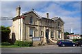
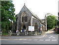
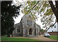
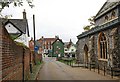
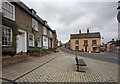
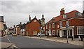
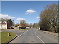
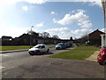
100 photos from this area
Area Information
Key information about the IP20 9ES including its size, population, and administrative classification.
- Area Type
- Postcode
- Area Size
- 2.4 hectares
- Population
- 1312
- Population Density
- 112 people/km²
House Prices in IP20 9ES
45
Properties
£224,552
Average Sold Price
£10,750
Lowest Price
£850,000
Highest Price
Showing 45 properties
| Address | Type | Beds | Baths | Last Sale Price | Last Sale Date | |
|---|---|---|---|---|---|---|
| 4 Station Road, Harleston, IP20 9ES | Semi-detached | 2 | 2 | £270,000 | Aug 2024 | |
| 6 Station Road, Harleston, IP20 9ES | Bungalow | 3 | 1 | £280,000 | Jan 2024 | |
| 33 Station Road, Harleston, IP20 9ES | Semi-detached | 3 | 1 | £232,000 | Sep 2023 | |
| 9 Station Road, Harleston, IP20 9ES | house | 5 | 5 | £850,000 | Mar 2023 | |
| 11 Station Road, Harleston, IP20 9ES | Semi-detached | 4 | 1 | £530,000 | Dec 2022 | |
| 22 Station Road, Harleston, IP20 9ES | Retail | 4 | 2 | £370,000 | May 2022 | |
| 29 Station Road, Harleston, IP20 9ES | Semi-detached | 4 | 1 | £368,000 | Aug 2019 | |
| 31 Station Road, Harleston, IP20 9ES | Semi-detached | 2 | 1 | £170,000 | Nov 2018 | |
| 16 Station Road, Harleston, IP20 9ES | Detached | 3 | 2 | £300,000 | Aug 2018 | |
| 35 Station Road, Harleston, IP20 9ES | Semi-detached | 3 | 1 | £167,000 | Jul 2016 |
Page 1 of 5
Energy Efficiency in IP20 9ES
Amenities
Schools
| Rank | School | Type | Entry gender | Ages |
|---|
Explore more schools in this area
Go to Schools tabDemographics
Household Size
Two person
most common
Accommodation Type
Houses
most common
Tenure
78
majority
Ethnic Group
White
most common
Religion
N/A
most common
Household Composition
N/A
most common
Age
47
median
Adults (30-64 years)
most common
Household Deprivation
N/A
with no deprivation
NS-SEC
30
in Lower managerial occupations
Explore more demographic insights in this area
Go to Demographics tabPlanning
Planning Constraints
- Flood RiskPremium
- Ramsar Wetland SitesPremium
- Area of Outstanding Natural BeautyPremium
- Protected Nature ReservePremium
- Protected WoodlandPremium