Area Overview for IP20 9DE
Photos of IP20 9DE
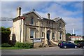
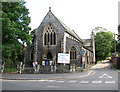
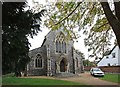
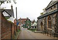
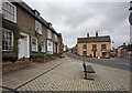
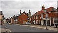
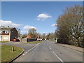
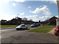
100 photos from this area
Area Information
Key information about the IP20 9DE including its size, population, and administrative classification.
- Area Type
- Postcode
- Area Size
- 1.3 hectares
- Population
- 2448
- Population Density
- 2894 people/km²
House Prices in IP20 9DE
27
Properties
£175,563
Average Sold Price
£35,000
Lowest Price
£445,500
Highest Price
Showing 27 properties
| Address | Type | Beds | Baths | Last Sale Price | Last Sale Date | |
|---|---|---|---|---|---|---|
| 5 Mendham Lane, Harleston, IP20 9DE | Flat | 1 | 1 | £90,000 | Aug 2023 | |
| 17 Mendham Lane, Harleston, IP20 9DE | house | 2 | - | £170,000 | Jan 2023 | |
| 19 Mendham Lane, Harleston, IP20 9DE | Terraced | 3 | 1 | £159,000 | Dec 2017 | |
| 7 Mendham Lane, Harleston, IP20 9DE | Terraced | 2 | 1 | £160,000 | Nov 2017 | |
| 8 Mendham Lane, Harleston, IP20 9DE | Bungalow | 3 | 2 | £445,500 | Jul 2012 | |
| 1 Mendham Lane, Harleston, IP20 9DE | house | 5 | - | £235,000 | Oct 2007 | |
| 4A Mendham Lane, Harleston, IP20 9DE | Detached | - | - | £110,000 | Oct 1998 | |
| 15 Mendham Lane, Harleston, IP20 9DE | house | 1 | - | £35,000 | Sep 1996 | |
| 17A Mendham Lane, Harleston, IP20 9DE | Terraced | 2 | 1 | - | - | |
| 19A Mendham Lane, Harleston, IP20 9DE | Terraced | 3 | 1 | - | - |
Page 1 of 3
Energy Efficiency in IP20 9DE
Amenities
Schools
| Rank | School | Type | Entry gender | Ages |
|---|
Explore more schools in this area
Go to Schools tabDemographics
Household Size
One person
most common
Accommodation Type
Houses
most common
Tenure
62
majority
Ethnic Group
White
most common
Religion
N/A
most common
Household Composition
N/A
most common
Age
47
median
Adults (30-64 years)
most common
Household Deprivation
N/A
with no deprivation
NS-SEC
26
in Lower managerial occupations
Explore more demographic insights in this area
Go to Demographics tabPlanning
Planning Constraints
- Flood RiskPremium
- Ramsar Wetland SitesPremium
- Area of Outstanding Natural BeautyPremium
- Protected Nature ReservePremium
- Protected WoodlandPremium