Area Overview for IP20 0LY
Photos of IP20 0LY
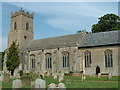
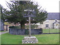
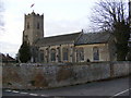
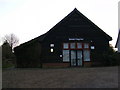
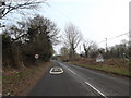
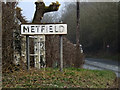
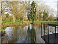
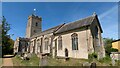
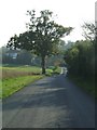
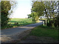
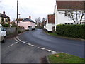
66 photos from this area
Area Information
Key information about the IP20 0LY including its size, population, and administrative classification.
- Area Type
- Postcode
- Area Size
- 8394 m²
- Population
- 2281
- Population Density
- 46 people/km²
House Prices in IP20 0LY
15
Properties
£210,176
Average Sold Price
£149,995
Lowest Price
£340,000
Highest Price
Showing 15 properties
| Address | Type | Beds | Baths | Last Sale Price | Last Sale Date | |
|---|---|---|---|---|---|---|
| 6 St Johns Meadow, Metfield, IP20 0LY | Semi-detached | 2 | - | £190,000 | Dec 2025 | |
| 14 St Johns Meadow, Metfield, IP20 0LY | house | 2 | 1 | £225,000 | Oct 2024 | |
| 4 St Johns Meadow, Metfield, IP20 0LY | Semi-detached | 2 | 1 | £202,000 | Mar 2024 | |
| 8 St Johns Meadow, Metfield, IP20 0LY | house | 3 | - | £255,000 | Mar 2023 | |
| 15 St Johns Meadow, Metfield, IP20 0LY | Terraced | 2 | 1 | £195,000 | Feb 2019 | |
| 2 St Johns Meadow, Metfield, IP20 0LY | Detached | 4 | 2 | £340,000 | Feb 2018 | |
| 12 St Johns Meadow, Metfield, IP20 0LY | house | 3 | - | £202,000 | Aug 2016 | |
| 10 St Johns Meadow, Metfield, IP20 0LY | Semi-detached | 3 | - | £203,000 | Feb 2016 | |
| 1 St Johns Meadow, Metfield, IP20 0LY | Detached | 3 | - | £169,950 | Jul 2013 | |
| 11 St Johns Meadow, Metfield, IP20 0LY | Semi-detached | - | - | £179,995 | Aug 2007 |
Page 1 of 2
Energy Efficiency in IP20 0LY
Amenities
Schools
| Rank | School | Type | Entry gender | Ages |
|---|
Explore more schools in this area
Go to Schools tabDemographics
Household Size
Two person
most common
Accommodation Type
Houses
most common
Tenure
75
majority
Ethnic Group
White
most common
Religion
N/A
most common
Household Composition
N/A
most common
Age
47
median
Adults (30-64 years)
most common
Household Deprivation
N/A
with no deprivation
NS-SEC
35
in Lower managerial occupations
Explore more demographic insights in this area
Go to Demographics tabPlanning
Planning Constraints
- Flood RiskPremium
- Ramsar Wetland SitesPremium
- Area of Outstanding Natural BeautyPremium
- Protected Nature ReservePremium
- Protected WoodlandPremium