Area Overview for IP20 0HS
Photos of IP20 0HS
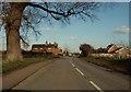
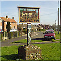

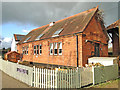
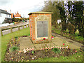
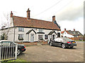
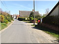
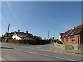
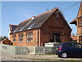
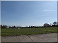
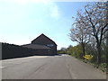
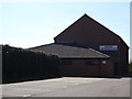
49 photos from this area
Area Information
Key information about the IP20 0HS including its size, population, and administrative classification.
- Area Type
- Postcode
- Area Size
- 2.0 hectares
- Population
- 2547
- Population Density
- 61 people/km²
House Prices in IP20 0HS
5
Properties
£316,333
Average Sold Price
£244,000
Lowest Price
£355,000
Highest Price
Showing 5 properties
| Address | Type | Beds | Baths | Last Sale Price | Last Sale Date | |
|---|---|---|---|---|---|---|
| Sero-sed-serio, Tunbeck Close, Wortwell, IP20 0HS | Detached | 4 | - | £244,000 | Jun 2025 | |
| Greensted, Tunbeck Close, Wortwell, IP20 0HS | Bungalow | 2 | 2 | £355,000 | Feb 2023 | |
| Fisher House, Tunbeck Close, Wortwell, IP20 0HS | Detached | 4 | 3 | £350,000 | Jun 2022 | |
| Rose Cottage, Tunbeck Close, Wortwell, IP20 0HS | house | - | - | - | - | |
| Evergreen Cottage, Tunbeck Close, Wortwell, IP20 0HS | house | - | - | - | - |
Energy Efficiency in IP20 0HS
Amenities
Schools
| Rank | School | Type | Entry gender | Ages |
|---|
Explore more schools in this area
Go to Schools tabDemographics
Household Size
Two person
most common
Accommodation Type
Houses
most common
Tenure
77
majority
Ethnic Group
White
most common
Religion
N/A
most common
Household Composition
N/A
most common
Age
47
median
Adults (30-64 years)
most common
Household Deprivation
N/A
with no deprivation
NS-SEC
31
in Lower managerial occupations
Explore more demographic insights in this area
Go to Demographics tabPlanning
Planning Constraints
- Flood RiskPremium
- Ramsar Wetland SitesPremium
- Area of Outstanding Natural BeautyPremium
- Protected Nature ReservePremium
- Protected WoodlandPremium