Area Overview for IP20 0DP
Photos of IP20 0DP
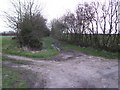
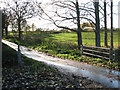
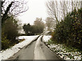
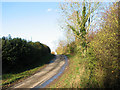
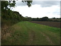
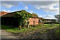
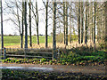
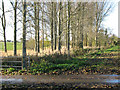
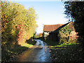
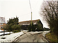
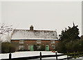
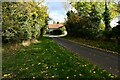
13 photos from this area
Area Information
Key information about the IP20 0DP including its size, population, and administrative classification.
- Area Type
- Postcode
- Area Size
- 90.1 hectares
- Population
- 2547
- Population Density
- 61 people/km²
House Prices in IP20 0DP
21
Properties
£502,214
Average Sold Price
£248,000
Lowest Price
£900,000
Highest Price
Showing 21 properties
| Address | Type | Beds | Baths | Last Sale Price | Last Sale Date | |
|---|---|---|---|---|---|---|
| 72 The Street, Alburgh, IP20 0DP | Detached | 5 | 3 | £620,000 | May 2025 | |
| Springfield House, The Street, Alburgh, IP20 0DP | house | - | - | £580,000 | Mar 2021 | |
| Redgate Cottage, The Street, Alburgh, IP20 0DP | Cottage | 3 | 2 | £350,000 | Sep 2020 | |
| Manor Farm House, The Street, Alburgh, IP20 0DP | Farm | 4 | 1 | £375,000 | Apr 2019 | |
| Moat Farm House, The Street, Alburgh, IP20 0DP | Detached | 5 | 4 | £900,000 | Nov 2018 | |
| Moat Cottage, The Street, Alburgh, IP20 0DP | Detached | 5 | 3 | £442,500 | Apr 2015 | |
| Piglet Barn, The Street, Alburgh, IP20 0DP | Detached | - | - | £248,000 | Mar 2003 | |
| Scarlett Barn, The Street, Alburgh, IP20 0DP | Semi-detached | 3 | 2 | - | - | |
| 3, Pagan Terrace, The Street, Alburgh, IP20 0DP | Semi-detached | 3 | 1 | - | - | |
| 2, Pagan Terrace, The Street, Alburgh, IP20 0DP | house | - | - | - | - |
Page 1 of 3
Energy Efficiency in IP20 0DP
Amenities
Schools
| Rank | School | Type | Entry gender | Ages |
|---|
Explore more schools in this area
Go to Schools tabDemographics
Household Size
Two person
most common
Accommodation Type
Houses
most common
Tenure
77
majority
Ethnic Group
White
most common
Religion
N/A
most common
Household Composition
N/A
most common
Age
47
median
Adults (30-64 years)
most common
Household Deprivation
N/A
with no deprivation
NS-SEC
31
in Lower managerial occupations
Explore more demographic insights in this area
Go to Demographics tabPlanning
Planning Constraints
- Flood RiskPremium
- Ramsar Wetland SitesPremium
- Area of Outstanding Natural BeautyPremium
- Protected Nature ReservePremium
- Protected WoodlandPremium