Area Overview for IP2 9XZ
Photos of IP2 9XZ

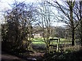
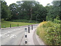
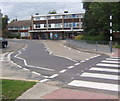
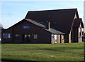
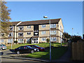
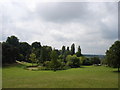
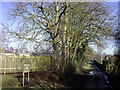
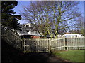
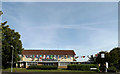
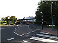
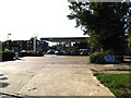
33 photos from this area
Area Information
Key information about the IP2 9XZ including its size, population, and administrative classification.
- Area Type
- Postcode
- Area Size
- 4656 m²
- Population
- 1198
- Population Density
- 6406 people/km²
House Prices in IP2 9XZ
12
Properties
£191,895
Average Sold Price
£54,500
Lowest Price
£270,000
Highest Price
Showing 12 properties
| Address | Type | Beds | Baths | Last Sale Price | Last Sale Date | |
|---|---|---|---|---|---|---|
| 30 Wilmslow Drive, Pinewood, IP2 9XZ | Terraced | 2 | 1 | £210,000 | May 2025 | |
| 41 Wilmslow Drive, Pinewood, IP2 9XZ | Semi-detached | 3 | 1 | £270,000 | Aug 2023 | |
| 39 Wilmslow Drive, Pinewood, IP2 9XZ | Retail | 3 | 1 | £242,000 | Mar 2022 | |
| 26 Wilmslow Drive, Pinewood, IP2 9XZ | Semi-detached | 3 | 1 | £230,000 | Feb 2022 | |
| 35 Wilmslow Drive, Pinewood, IP2 9XZ | Semi-detached | 3 | 1 | £190,000 | Nov 2019 | |
| 37 Wilmslow Drive, Pinewood, IP2 9XZ | Semi-detached | 3 | 1 | £230,000 | Nov 2017 | |
| 32 Wilmslow Drive, Pinewood, IP2 9XZ | Terraced | 3 | 1 | £187,500 | Oct 2016 | |
| 45 Wilmslow Drive, Pinewood, IP2 9XZ | house | 4 | - | £175,000 | May 2010 | |
| 33 Wilmslow Drive, Pinewood, IP2 9XZ | Semi-detached | - | - | £129,950 | Oct 2005 | |
| 43 Wilmslow Drive, Pinewood, IP2 9XZ | house | 3 | 1 | £54,500 | Sep 1997 |
Page 1 of 2
Energy Efficiency in IP2 9XZ
Amenities
Schools
| Rank | School | Type | Entry gender | Ages |
|---|
Explore more schools in this area
Go to Schools tabDemographics
Household Size
Two person
most common
Accommodation Type
Houses
most common
Tenure
43
majority
Ethnic Group
White
most common
Religion
N/A
most common
Household Composition
N/A
most common
Age
47
median
Adults (30-64 years)
most common
Household Deprivation
N/A
with no deprivation
NS-SEC
22
in Lower managerial occupations
Explore more demographic insights in this area
Go to Demographics tabPlanning
Planning Constraints
- Flood RiskPremium
- Ramsar Wetland SitesPremium
- Area of Outstanding Natural BeautyPremium
- Protected Nature ReservePremium
- Protected WoodlandPremium