Area Overview for IP2 9TS
Photos of IP2 9TS
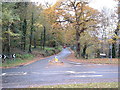
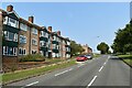
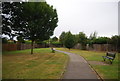
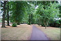
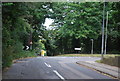
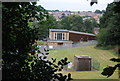
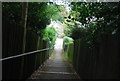
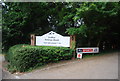
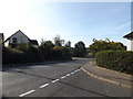

21 photos from this area
Area Information
Key information about the IP2 9TS including its size, population, and administrative classification.
- Area Type
- Postcode
- Area Size
- 8486 m²
- Population
- 1436
- Population Density
- 3459 people/km²
House Prices in IP2 9TS
23
Properties
£197,467
Average Sold Price
£53,000
Lowest Price
£380,000
Highest Price
Showing 23 properties
| Address | Type | Beds | Baths | Last Sale Price | Last Sale Date | |
|---|---|---|---|---|---|---|
| 16 Newark Close, Ipswich, IP2 9TS | Semi-detached | 3 | 1 | £268,000 | Jul 2025 | |
| 9 Newark Close, Ipswich, IP2 9TS | Detached | 3 | 1 | £261,000 | Jul 2022 | |
| 15 Newark Close, Ipswich, IP2 9TS | house | 4 | - | £380,000 | Jul 2022 | |
| 22 Newark Close, Ipswich, IP2 9TS | house | - | - | £300,000 | Jun 2021 | |
| 24 Newark Close, Ipswich, IP2 9TS | Detached | 4 | 2 | £274,000 | Mar 2021 | |
| 19 Newark Close, Ipswich, IP2 9TS | house | - | - | £288,000 | Mar 2021 | |
| 8 Newark Close, Ipswich, IP2 9TS | Semi-detached | 3 | 1 | £160,000 | Jun 2014 | |
| 17 Newark Close, Ipswich, IP2 9TS | house | - | - | £117,000 | Dec 2008 | |
| 5 Newark Close, Ipswich, IP2 9TS | Semi-detached | - | - | £150,000 | Sep 2007 | |
| 11 Newark Close, Ipswich, IP2 9TS | Detached | - | - | £197,000 | Feb 2007 |
Page 1 of 3
Energy Efficiency in IP2 9TS
Amenities
Schools
| Rank | School | Type | Entry gender | Ages |
|---|
Explore more schools in this area
Go to Schools tabDemographics
Household Size
Family (3-5 people)
most common
Accommodation Type
Houses
most common
Tenure
32
majority
Ethnic Group
White
most common
Religion
N/A
most common
Household Composition
N/A
most common
Age
47
median
Adults (30-64 years)
most common
Household Deprivation
N/A
with no deprivation
NS-SEC
19
in Lower managerial occupations
Explore more demographic insights in this area
Go to Demographics tabPlanning
Planning Constraints
- Flood RiskPremium
- Ramsar Wetland SitesPremium
- Area of Outstanding Natural BeautyPremium
- Protected Nature ReservePremium
- Protected WoodlandPremium