Area Overview for IP2 9RF
Photos of IP2 9RF

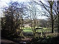
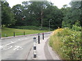
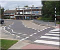
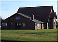
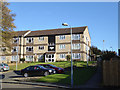
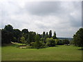
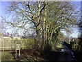
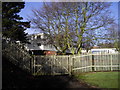
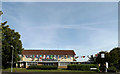
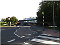
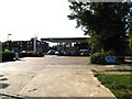
33 photos from this area
Area Information
Key information about the IP2 9RF including its size, population, and administrative classification.
- Area Type
- Postcode
- Area Size
- 1.1 hectares
- Population
- 1258
- Population Density
- 4712 people/km²
House Prices in IP2 9RF
27
Properties
£203,571
Average Sold Price
£128,000
Lowest Price
£315,000
Highest Price
Showing 27 properties
| Address | Type | Beds | Baths | Last Sale Price | Last Sale Date | |
|---|---|---|---|---|---|---|
| 34 Eccles Road, Ipswich, IP2 9RF | Semi-detached | 4 | 1 | £315,000 | Mar 2025 | |
| 46 Eccles Road, Ipswich, IP2 9RF | Semi-detached | 3 | 1 | £260,000 | Feb 2025 | |
| 36 Eccles Road, Ipswich, IP2 9RF | Semi-detached | 3 | 1 | £250,000 | Aug 2019 | |
| 58 Eccles Road, Ipswich, IP2 9RF | house | - | - | £166,000 | Aug 2013 | |
| 56 Eccles Road, Ipswich, IP2 9RF | house | - | - | £156,000 | Feb 2007 | |
| 44 Eccles Road, Ipswich, IP2 9RF | Semi-detached | - | - | £150,000 | Jul 2006 | |
| 50 Eccles Road, Ipswich, IP2 9RF | Semi-detached | - | - | £128,000 | Oct 2003 | |
| 39 Eccles Road, Ipswich, IP2 9RF | Detached | 3 | 1 | - | - | |
| 30 Eccles Road, Ipswich, IP2 9RF | Semi-detached | 3 | - | - | - | |
| 28 Eccles Road, Ipswich, IP2 9RF | Semi-detached | - | - | - | - |
Page 1 of 3
Energy Efficiency in IP2 9RF
Amenities
Schools
| Rank | School | Type | Entry gender | Ages |
|---|
Explore more schools in this area
Go to Schools tabDemographics
Household Size
Two person
most common
Accommodation Type
Houses
most common
Tenure
88
majority
Ethnic Group
White
most common
Religion
N/A
most common
Household Composition
N/A
most common
Age
47
median
Adults (30-64 years)
most common
Household Deprivation
N/A
with no deprivation
NS-SEC
29
in Lower managerial occupations
Explore more demographic insights in this area
Go to Demographics tabPlanning
Planning Constraints
- Flood RiskPremium
- Ramsar Wetland SitesPremium
- Area of Outstanding Natural BeautyPremium
- Protected Nature ReservePremium
- Protected WoodlandPremium