Area Overview for IP2 9NS
Photos of IP2 9NS
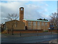
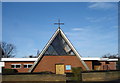
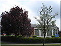
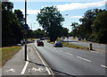
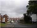
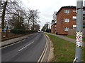
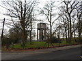
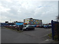
66 photos from this area
Area Information
Key information about the IP2 9NS including its size, population, and administrative classification.
- Area Type
- Postcode
- Area Size
- 8527 m²
- Population
- 1529
- Population Density
- 6077 people/km²
House Prices in IP2 9NS
23
Properties
£124,442
Average Sold Price
£22,960
Lowest Price
£280,000
Highest Price
Showing 23 properties
| Address | Type | Beds | Baths | Last Sale Price | Last Sale Date | |
|---|---|---|---|---|---|---|
| 110 Sheldrake Drive, Ipswich, IP2 9NS | house | 3 | 1 | £205,000 | Jul 2024 | |
| 98 Sheldrake Drive, Ipswich, IP2 9NS | house | - | - | £192,500 | Jul 2023 | |
| 51 Sheldrake Drive, Ipswich, IP2 9NS | Retail | 3 | 1 | £280,000 | Jun 2022 | |
| 100 Sheldrake Drive, Ipswich, IP2 9NS | house | 3 | - | £172,500 | Nov 2018 | |
| 102 Sheldrake Drive, Ipswich, IP2 9NS | Detached | 3 | - | £148,000 | Mar 2017 | |
| 104 Sheldrake Drive, Ipswich, IP2 9NS | house | 3 | 1 | £97,000 | Oct 2012 | |
| 112 Sheldrake Drive, Ipswich, IP2 9NS | Terraced | - | - | £122,000 | Jan 2012 | |
| 41 Sheldrake Drive, Ipswich, IP2 9NS | Terraced | 3 | 1 | £55,000 | Dec 2003 | |
| 108 Sheldrake Drive, Ipswich, IP2 9NS | house | - | - | £29,900 | Aug 2000 | |
| 92 Sheldrake Drive, Ipswich, IP2 9NS | Terraced | - | - | £22,960 | Sep 1997 |
Page 1 of 3
Energy Efficiency in IP2 9NS
Amenities
Schools
| Rank | School | Type | Entry gender | Ages |
|---|
Explore more schools in this area
Go to Schools tabDemographics
Household Size
Two person
most common
Accommodation Type
Houses
most common
Tenure
54
majority
Ethnic Group
White
most common
Religion
N/A
most common
Household Composition
N/A
most common
Age
47
median
Adults (30-64 years)
most common
Household Deprivation
N/A
with no deprivation
NS-SEC
16
in Lower managerial occupations
Explore more demographic insights in this area
Go to Demographics tabPlanning
Planning Constraints
- Flood RiskPremium
- Ramsar Wetland SitesPremium
- Area of Outstanding Natural BeautyPremium
- Protected Nature ReservePremium
- Protected WoodlandPremium