Area Overview for IP2 9BQ
Photos of IP2 9BQ
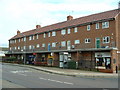
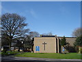
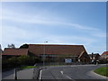
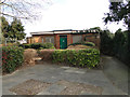
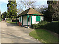
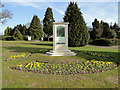

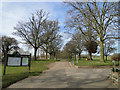
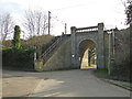
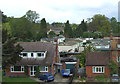
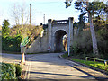
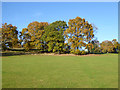
54 photos from this area
Area Information
Key information about the IP2 9BQ including its size, population, and administrative classification.
- Area Type
- Postcode
- Area Size
- 1.2 hectares
- Population
- 1478
- Population Density
- 2135 people/km²
House Prices in IP2 9BQ
30
Properties
£177,113
Average Sold Price
£49,000
Lowest Price
£269,000
Highest Price
Showing 30 properties
| Address | Type | Beds | Baths | Last Sale Price | Last Sale Date | |
|---|---|---|---|---|---|---|
| 11 Byland Close, Ipswich, IP2 9BQ | Terraced | 3 | 1 | £210,000 | Jun 2024 | |
| 30 Byland Close, Ipswich, IP2 9BQ | Semi-detached | 3 | 1 | £210,000 | May 2024 | |
| 32 Byland Close, Ipswich, IP2 9BQ | Detached | 3 | - | £253,000 | Apr 2024 | |
| 20 Byland Close, Ipswich, IP2 9BQ | Semi-detached | 3 | 1 | £269,000 | Mar 2023 | |
| 34 Byland Close, Ipswich, IP2 9BQ | house | - | - | £195,000 | May 2021 | |
| 40 Byland Close, Ipswich, IP2 9BQ | Terraced | 3 | 1 | £250,000 | Apr 2020 | |
| 38 Byland Close, Ipswich, IP2 9BQ | house | - | - | £247,500 | Oct 2017 | |
| 18 Byland Close, Ipswich, IP2 9BQ | house | 3 | - | £155,000 | Jun 2011 | |
| 42 Byland Close, Ipswich, IP2 9BQ | Terraced | 3 | - | £132,000 | May 2010 | |
| 8 Byland Close, Ipswich, IP2 9BQ | Semi-detached | - | - | £174,000 | Jul 2008 |
Page 1 of 3
Energy Efficiency in IP2 9BQ
Amenities
Schools
| Rank | School | Type | Entry gender | Ages |
|---|
Explore more schools in this area
Go to Schools tabDemographics
Household Size
Two person
most common
Accommodation Type
Houses
most common
Tenure
80
majority
Ethnic Group
White
most common
Religion
N/A
most common
Household Composition
N/A
most common
Age
47
median
Adults (30-64 years)
most common
Household Deprivation
N/A
with no deprivation
NS-SEC
29
in Lower managerial occupations
Explore more demographic insights in this area
Go to Demographics tabPlanning
Planning Constraints
- Flood RiskPremium
- Ramsar Wetland SitesPremium
- Area of Outstanding Natural BeautyPremium
- Protected Nature ReservePremium
- Protected WoodlandPremium