Area Overview for IP2 8AD
Photos of IP2 8AD
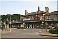
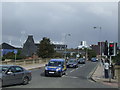
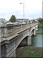
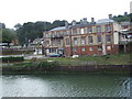
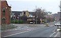
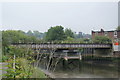
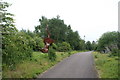
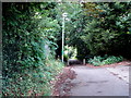
100 photos from this area
Area Information
Key information about the IP2 8AD including its size, population, and administrative classification.
- Area Type
- Postcode
- Area Size
- 1.4 hectares
- Population
- 1137
- Population Density
- 8918 people/km²
House Prices in IP2 8AD
87
Properties
£132,094
Average Sold Price
£33,000
Lowest Price
£240,000
Highest Price
Showing 87 properties
| Address | Type | Beds | Baths | Last Sale Price | Last Sale Date | |
|---|---|---|---|---|---|---|
| 65 Burrell Road, Ipswich, IP2 8AD | Terraced | 2 | 1 | £190,000 | Mar 2025 | |
| 71 Burrell Road, Ipswich, IP2 8AD | house | 3 | 1 | £145,000 | Sep 2021 | |
| 101 Burrell Road, Ipswich, IP2 8AD | house | - | - | £191,000 | Feb 2021 | |
| 85 Burrell Road, Ipswich, IP2 8AD | Terraced | 4 | - | £150,000 | Jul 2020 | |
| 89 Burrell Road, Ipswich, IP2 8AD | house | 1 | - | £240,000 | Nov 2018 | |
| 95 Burrell Road, Ipswich, IP2 8AD | house | 1 | 1 | £210,000 | Mar 2018 | |
| 69 Burrell Road, Ipswich, IP2 8AD | house | - | - | £96,500 | Jun 2014 | |
| 67 Burrell Road, Ipswich, IP2 8AD | house | 2 | - | £82,000 | Mar 2012 | |
| 99 Burrell Road, Ipswich, IP2 8AD | house | 5 | - | £68,000 | Oct 2011 | |
| 93 Burrell Road, Ipswich, IP2 8AD | Terraced | 1 | 1 | £115,000 | Jul 2010 |
Page 1 of 9
Energy Efficiency in IP2 8AD
Amenities
Schools
| Rank | School | Type | Entry gender | Ages |
|---|
Explore more schools in this area
Go to Schools tabDemographics
Household Size
One person
most common
Accommodation Type
Flats
most common
Tenure
23
majority
Ethnic Group
White
most common
Religion
N/A
most common
Household Composition
N/A
most common
Age
47
median
Adults (30-64 years)
most common
Household Deprivation
N/A
with no deprivation
NS-SEC
23
in Lower managerial occupations
Explore more demographic insights in this area
Go to Demographics tabPlanning
Planning Constraints
- Flood RiskPremium
- Ramsar Wetland SitesPremium
- Area of Outstanding Natural BeautyPremium
- Protected Nature ReservePremium
- Protected WoodlandPremium