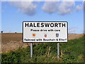
Area Overview for IP19 8PG
Photos of IP19 8PG
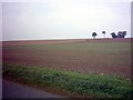
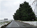
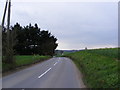
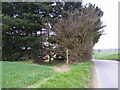
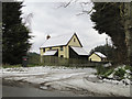
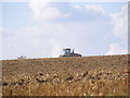
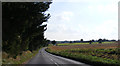
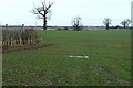
19 photos from this area
Area Information
Key information about the IP19 8PG including its size, population, and administrative classification.
- Area Type
- Postcode
- Area Size
- 33.0 hectares
- Population
- 2142
- Population Density
- 27 people/km²
House Prices in IP19 8PG
32
Properties
£275,239
Average Sold Price
£78,000
Lowest Price
£389,500
Highest Price
Showing 32 properties
| Address | Type | Beds | Baths | Last Sale Price | Last Sale Date | |
|---|---|---|---|---|---|---|
| 21 Barley Meadow, Halesworth, IP19 8PG | Bungalow | 3 | 1 | £275,000 | Aug 2025 | |
| 30 Barley Meadow, Halesworth, IP19 8PG | Bungalow | 3 | 2 | £320,000 | May 2025 | |
| 19 Barley Meadow, Halesworth, IP19 8PG | Bungalow | 3 | 2 | £350,000 | Oct 2023 | |
| 27 Barley Meadow, Halesworth, IP19 8PG | Bungalow | 2 | 1 | £267,500 | Aug 2023 | |
| 2 Barley Meadow, Halesworth, IP19 8PG | Bungalow | 3 | 2 | £385,000 | Apr 2023 | |
| The Ollies, 9 Barley Meadow, Halesworth, IP19 8PG | Bungalow | 2 | - | £250,500 | Feb 2023 | |
| 7 Barley Meadow, Halesworth, IP19 8PG | Bungalow | - | - | £250,000 | Oct 2022 | |
| 15 Barley Meadow, Halesworth, IP19 8PG | Bungalow | - | - | £265,000 | Feb 2022 | |
| 24 Barley Meadow, Halesworth, IP19 8PG | Bungalow | - | - | £389,500 | Nov 2021 | |
| 11 Barley Meadow, Halesworth, IP19 8PG | Bungalow | 2 | - | £330,000 | Sep 2021 |
Page 1 of 4
Energy Efficiency in IP19 8PG
Amenities
Schools
| Rank | School | Type | Entry gender | Ages |
|---|
Explore more schools in this area
Go to Schools tabDemographics
Household Size
Two person
most common
Accommodation Type
Houses
most common
Tenure
75
majority
Ethnic Group
White
most common
Religion
N/A
most common
Household Composition
N/A
most common
Age
47
median
Adults (30-64 years)
most common
Household Deprivation
N/A
with no deprivation
NS-SEC
35
in Lower managerial occupations
Explore more demographic insights in this area
Go to Demographics tabPlanning
Planning Constraints
- Flood RiskPremium
- Ramsar Wetland SitesPremium
- Area of Outstanding Natural BeautyPremium
- Protected Nature ReservePremium
- Protected WoodlandPremium