Area Overview for IP18 6PX
Photos of IP18 6PX
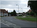
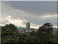
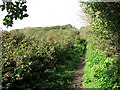
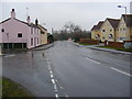
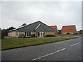
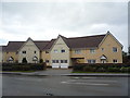
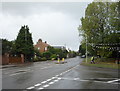
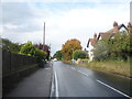
72 photos from this area
Area Information
Key information about the IP18 6PX including its size, population, and administrative classification.
- Area Type
- Postcode
- Area Size
- 9636 m²
- Population
- 2178
- Population Density
- 585 people/km²
House Prices in IP18 6PX
11
Properties
£322,063
Average Sold Price
£175,000
Lowest Price
£472,000
Highest Price
Showing 11 properties
| Address | Type | Beds | Baths | Last Sale Price | Last Sale Date | |
|---|---|---|---|---|---|---|
| 7 Loftus Avenue, Reydon, IP18 6PX | Bungalow | 3 | 1 | £385,000 | Jul 2024 | |
| 8 Loftus Avenue, Reydon, IP18 6PX | Bungalow | 4 | 3 | £472,000 | Nov 2020 | |
| 1 Loftus Avenue, Reydon, IP18 6PX | Bungalow | - | - | £331,000 | Jul 2019 | |
| 6 Loftus Avenue, Reydon, IP18 6PX | Bungalow | 2 | 1 | £290,000 | Aug 2016 | |
| 12 Loftus Avenue, Reydon, IP18 6PX | Bungalow | 3 | 1 | £346,000 | Dec 2015 | |
| 4 Loftus Avenue, Reydon, IP18 6PX | Bungalow | 2 | 2 | £302,500 | Oct 2015 | |
| 10 Loftus Avenue, Reydon, IP18 6PX | Bungalow | - | - | £175,000 | Mar 2009 | |
| The Covert, 9 Loftus Avenue, Reydon, IP18 6PX | Detached | - | - | £275,000 | Jul 2004 | |
| The Haven, 3 Loftus Avenue, Reydon, IP18 6PX | Bungalow | 3 | 2 | - | - | |
| 5 Loftus Avenue, Reydon, IP18 6PX | Detached | - | - | - | - |
Page 1 of 2
Energy Efficiency in IP18 6PX
Amenities
Schools
| Rank | School | Type | Entry gender | Ages |
|---|
Explore more schools in this area
Go to Schools tabDemographics
Household Size
N/A
most common
Accommodation Type
N/A
most common
Tenure
N/A
majority
Ethnic Group
N/A
most common
Religion
N/A
most common
Household Composition
N/A
most common
Age
N/A
median
N/A
most common
Household Deprivation
N/A
with no deprivation
NS-SEC
N/A
in Lower managerial occupations
Explore more demographic insights in this area
Go to Demographics tabPlanning
Planning Constraints
- Flood RiskPremium
- Ramsar Wetland SitesPremium
- Area of Outstanding Natural BeautyPremium
- Protected Nature ReservePremium
- Protected WoodlandPremium