Area Overview for IP18 6NT
Photos of IP18 6NT
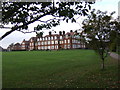
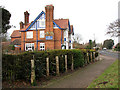
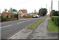
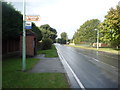
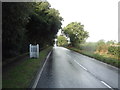
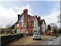
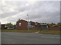
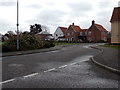
77 photos from this area
Area Information
Key information about the IP18 6NT including its size, population, and administrative classification.
- Area Type
- Postcode
- Area Size
- 27.2 hectares
- Population
- 1318
- Population Density
- 127 people/km²
House Prices in IP18 6NT
30
Properties
£352,658
Average Sold Price
£124,240
Lowest Price
£650,000
Highest Price
Showing 30 properties
| Address | Type | Beds | Baths | Last Sale Price | Last Sale Date | |
|---|---|---|---|---|---|---|
| Cherry Trees, Keens Lane, Reydon, IP18 6NT | Retail | 3 | 1 | £390,000 | Sep 2022 | |
| Cherry Tree, Keens Lane, Reydon, IP18 6NT | undefined | - | - | £390,000 | Sep 2022 | |
| Hourglass House, Keens Lane, Reydon, IP18 6NT | Detached | 5 | 4 | £650,000 | Nov 2020 | |
| Bramble Cottage, Keens Lane, Reydon, IP18 6NT | Cottage | 3 | 2 | £380,000 | Nov 2019 | |
| The Garden House, Keens Lane, Reydon, IP18 6NT | Detached | 3 | 1 | £355,000 | May 2018 | |
| Crab Apple Cottage, Keens Lane, Reydon, IP18 6NT | Detached | 5 | 4 | £590,000 | Aug 2017 | |
| Foxgloves, Keens Lane, Reydon, IP18 6NT | Semi-detached | - | - | £124,240 | Dec 2015 | |
| Pantiles, Keens Lane, Reydon, IP18 6NT | house | 3 | - | £310,000 | Jul 2010 | |
| Briar Lea, Keens Lane, Reydon, IP18 6NT | Detached | - | - | £375,000 | Mar 2007 | |
| Hollieden, Keens Lane, Reydon, IP18 6NT | Semi-detached | - | - | £155,000 | Sep 2004 |
Page 1 of 3
Energy Efficiency in IP18 6NT
Amenities
Schools
| Rank | School | Type | Entry gender | Ages |
|---|
Explore more schools in this area
Go to Schools tabDemographics
Household Size
One person
most common
Accommodation Type
Houses
most common
Tenure
65
majority
Ethnic Group
White
most common
Religion
N/A
most common
Household Composition
N/A
most common
Age
47
median
Adults (30-64 years)
most common
Household Deprivation
N/A
with no deprivation
NS-SEC
28
in Lower managerial occupations
Explore more demographic insights in this area
Go to Demographics tabPlanning
Planning Constraints
- Flood RiskPremium
- Ramsar Wetland SitesPremium
- Area of Outstanding Natural BeautyPremium
- Protected Nature ReservePremium
- Protected WoodlandPremium