Area Overview for IP18 6LJ
Photos of IP18 6LJ
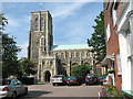
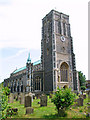
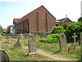
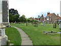
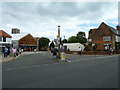
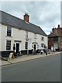
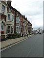
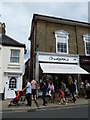
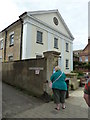
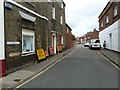

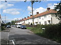
100 photos from this area
Area Information
Key information about the IP18 6LJ including its size, population, and administrative classification.
- Area Type
- Postcode
- Area Size
- 2201 m²
- Population
- 2178
- Population Density
- 585 people/km²
House Prices in IP18 6LJ
13
Properties
£470,833
Average Sold Price
£87,500
Lowest Price
£1,000,000
Highest Price
Showing 13 properties
| Address | Type | Beds | Baths | Last Sale Price | Last Sale Date | |
|---|---|---|---|---|---|---|
| 6 Dunwich Road, Southwold, IP18 6LJ | house | - | - | £780,000 | Jul 2024 | |
| 1 Dunwich Road, Southwold, IP18 6LJ | house | - | - | £1,000,000 | Jun 2017 | |
| 4 Dunwich Road, Southwold, IP18 6LJ | Terraced | 3 | - | £390,000 | Aug 2011 | |
| 7 Dunwich Road, Southwold, IP18 6LJ | Terraced | - | - | £570,000 | Dec 2007 | |
| 9 Dunwich Road, Southwold, IP18 6LJ | Terraced | - | - | £480,000 | Mar 2006 | |
| 8 Dunwich Road, Southwold, IP18 6LJ | Terraced | - | - | £390,000 | Dec 2004 | |
| 16 Dunwich Road, Southwold, IP18 6LJ | Terraced | - | - | £330,000 | Sep 2002 | |
| 3 Dunwich Road, Southwold, IP18 6LJ | Terraced | - | - | £210,000 | Oct 2000 | |
| 10 Dunwich Road, Southwold, IP18 6LJ | Terraced | 4 | 2 | £87,500 | Oct 1996 | |
| Ground And First Floor Flat, 18 Dunwich Road, Southwold, IP18 6LJ | Terraced | 6 | - | - | - |
Page 1 of 2
Energy Efficiency in IP18 6LJ
Amenities
Schools
| Rank | School | Type | Entry gender | Ages |
|---|
Explore more schools in this area
Go to Schools tabDemographics
Household Size
Two person
most common
Accommodation Type
Houses
most common
Tenure
77
majority
Ethnic Group
White
most common
Religion
N/A
most common
Household Composition
N/A
most common
Age
47
median
Elderly (65+ years)
most common
Household Deprivation
N/A
with no deprivation
NS-SEC
40
in Lower managerial occupations
Explore more demographic insights in this area
Go to Demographics tabPlanning
Planning Constraints
- Flood RiskPremium
- Ramsar Wetland SitesPremium
- Area of Outstanding Natural BeautyPremium
- Protected Nature ReservePremium
- Protected WoodlandPremium