Area Overview for IP18 6HB
Photos of IP18 6HB
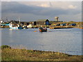
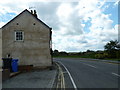
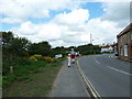
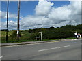
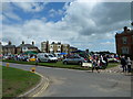
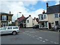
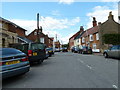
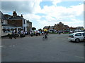
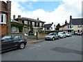
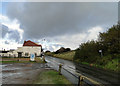
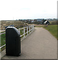
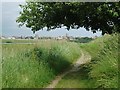
107 photos from this area
Area Information
Key information about the IP18 6HB including its size, population, and administrative classification.
- Area Type
- Postcode
- Area Size
- 6357 m²
- Population
- 2178
- Population Density
- 585 people/km²
House Prices in IP18 6HB
13
Properties
£1,023,833
Average Sold Price
£785,000
Lowest Price
£1,286,500
Highest Price
Showing 13 properties
| Address | Type | Beds | Baths | Last Sale Price | Last Sale Date | |
|---|---|---|---|---|---|---|
| 22 South Green, Southwold, IP18 6HB | house | - | - | £785,000 | Mar 2022 | |
| 16 South Green, Southwold, IP18 6HB | Chalet | - | - | £1,000,000 | Aug 2018 | |
| Bonsey House, 30 South Green, Southwold, IP18 6HB | house | - | - | £1,286,500 | Jan 2015 | |
| Acton Lodge, 18 South Green, Southwold, IP18 6HB | Semi-detached | 6 | 4 | - | - | |
| 28A South Green, Southwold, IP18 6HB | Semi-detached | 4 | 2 | - | - | |
| Former, 14A South Green, Southwold, IP18 6HB | Flat | - | - | - | - | |
| Former Top Flat, 14 South Green, Southwold, IP18 6HB | undefined | - | - | - | - | |
| 14 South Green, Southwold, IP18 6HB | house | - | - | - | - | |
| Ground Floor Flat, 14 South Green, Southwold, IP18 6HB | Flat | - | - | - | - | |
| 18A South Green, Southwold, IP18 6HB | Semi-detached | - | - | - | - |
Page 1 of 2
Energy Efficiency in IP18 6HB
Amenities
Schools
| Rank | School | Type | Entry gender | Ages |
|---|
Explore more schools in this area
Go to Schools tabDemographics
Household Size
Two person
most common
Accommodation Type
Houses
most common
Tenure
77
majority
Ethnic Group
White
most common
Religion
N/A
most common
Household Composition
N/A
most common
Age
47
median
Elderly (65+ years)
most common
Household Deprivation
N/A
with no deprivation
NS-SEC
40
in Lower managerial occupations
Explore more demographic insights in this area
Go to Demographics tabPlanning
Planning Constraints
- Flood RiskPremium
- Ramsar Wetland SitesPremium
- Area of Outstanding Natural BeautyPremium
- Protected Nature ReservePremium
- Protected WoodlandPremium