Area Overview for IP17 3EU
Photos of IP17 3EU

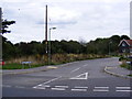
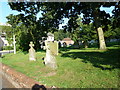
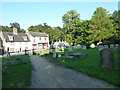
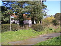
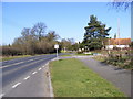
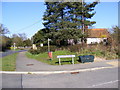
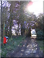
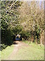
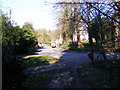
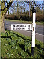
100 photos from this area
Area Information
Key information about the IP17 3EU including its size, population, and administrative classification.
- Area Type
- Postcode
- Area Size
- 5.7 hectares
- Population
- 2098
- Population Density
- 38 people/km²
House Prices in IP17 3EU
38
Properties
£295,306
Average Sold Price
£67,500
Lowest Price
£625,000
Highest Price
Showing 38 properties
| Address | Type | Beds | Baths | Last Sale Price | Last Sale Date | |
|---|---|---|---|---|---|---|
| Oakwood House, High Street, Yoxford, IP17 3EU | Detached | 4 | 3 | £450,000 | Dec 2024 | |
| Lantern Yard, High Street, Yoxford, IP17 3EU | Terraced | - | - | £330,000 | Aug 2024 | |
| The Old Bank House, High Street, Yoxford, IP17 3EU | Semi-detached | 3 | 2 | £350,000 | Mar 2023 | |
| The Old Methodist Chapel, High Street, Yoxford, IP17 3EU | Cottage | 4 | 3 | £535,000 | Feb 2022 | |
| Chandos, High Street, Yoxford, IP17 3EU | Detached | 3 | 2 | £415,000 | Nov 2021 | |
| Upper London House, High Street, Yoxford, IP17 3EU | Detached | 4 | 1 | £625,000 | Aug 2021 | |
| Grundisburgh Cottage, High Street, Yoxford, IP17 3EU | Detached | 3 | - | £388,000 | Aug 2020 | |
| Cavan Cottage, High Street, Yoxford, IP17 3EU | Detached | 3 | 2 | £360,000 | Jul 2020 | |
| Parkside, High Street, Yoxford, IP17 3EU | Detached | 2 | 1 | £245,000 | Sep 2018 | |
| Flat 3, Sunnyside, High Street, Yoxford, IP17 3EU | Maisonette | 2 | 1 | £122,500 | Nov 2017 |
Page 1 of 4
Energy Efficiency in IP17 3EU
Amenities
Schools
| Rank | School | Type | Entry gender | Ages |
|---|
Explore more schools in this area
Go to Schools tabDemographics
Household Size
Two person
most common
Accommodation Type
Houses
most common
Tenure
77
majority
Ethnic Group
White
most common
Religion
N/A
most common
Household Composition
N/A
most common
Age
47
median
Elderly (65+ years)
most common
Household Deprivation
N/A
with no deprivation
NS-SEC
40
in Lower managerial occupations
Explore more demographic insights in this area
Go to Demographics tabPlanning
Planning Constraints
- Flood RiskPremium
- Ramsar Wetland SitesPremium
- Area of Outstanding Natural BeautyPremium
- Protected Nature ReservePremium
- Protected WoodlandPremium