Area Overview for IP17 3AA
Photos of IP17 3AA
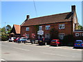
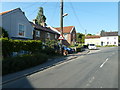
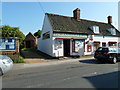
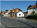
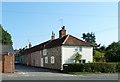
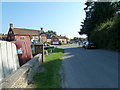
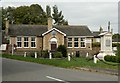
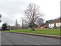
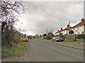
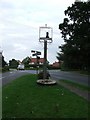
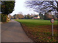
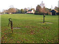
95 photos from this area
Area Information
Key information about the IP17 3AA including its size, population, and administrative classification.
- Area Type
- Postcode
- Area Size
- 2992 m²
- Population
- 2098
- Population Density
- 38 people/km²
House Prices in IP17 3AA
11
Properties
£415,656
Average Sold Price
£255,000
Lowest Price
£771,278
Highest Price
Showing 11 properties
| Address | Type | Beds | Baths | Last Sale Price | Last Sale Date | |
|---|---|---|---|---|---|---|
| Caines Cottage, The Street, Westleton, IP17 3AA | Cottage | 2 | 1 | £280,000 | Sep 2024 | |
| Evergreen Cottage, The Street, Westleton, IP17 3AA | house | - | - | £771,278 | Mar 2021 | |
| Westleton Cottage, The Street, Westleton, IP17 3AA | Semi-detached | 2 | 1 | £255,000 | Feb 2016 | |
| Westleton House, The Street, Westleton, IP17 3AA | Terraced | 3 | 1 | £280,000 | Oct 2015 | |
| Central House, The Street, Westleton, IP17 3AA | Detached | 4 | - | £492,000 | Jul 2014 | |
| THE CHAPEL, THE STREET, Westleton, IP17 3AA | Detached | - | - | - | - | |
| Flat Over The Stores, The Street, Westleton, IP17 3AA | Flat | - | - | - | - | |
| Chapel Cottage, The Street, Westleton, IP17 3AA | undefined | - | - | - | - | |
| The Boathouse, Bakers Lane, Westleton, IP17 3AA | Detached | - | - | - | - | |
| Chapel Books Ltd, Shop, The Chapel, The Street, Westleton, IP17 3AA | shop | - | - | - | - |
Page 1 of 2
Energy Efficiency in IP17 3AA
Amenities
Schools
| Rank | School | Type | Entry gender | Ages |
|---|
Explore more schools in this area
Go to Schools tabDemographics
Household Size
Two person
most common
Accommodation Type
Houses
most common
Tenure
77
majority
Ethnic Group
White
most common
Religion
N/A
most common
Household Composition
N/A
most common
Age
47
median
Elderly (65+ years)
most common
Household Deprivation
N/A
with no deprivation
NS-SEC
40
in Lower managerial occupations
Explore more demographic insights in this area
Go to Demographics tabPlanning
Planning Constraints
- Flood RiskPremium
- Ramsar Wetland SitesPremium
- Area of Outstanding Natural BeautyPremium
- Protected Nature ReservePremium
- Protected WoodlandPremium