Area Overview for IP17 2JU
Photos of IP17 2JU
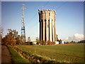
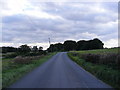
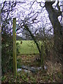
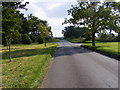
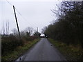
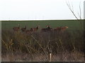
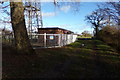
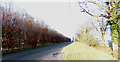
53 photos from this area
Area Information
Key information about the IP17 2JU including its size, population, and administrative classification.
- Area Type
- Postcode
- Area Size
- 80.3 hectares
- Population
- 2142
- Population Density
- 27 people/km²
House Prices in IP17 2JU
7
Properties
£223,667
Average Sold Price
£93,000
Lowest Price
£403,000
Highest Price
Showing 7 properties
| Address | Type | Beds | Baths | Last Sale Price | Last Sale Date | |
|---|---|---|---|---|---|---|
| Former Grove Cottage, Sibton Green, Sibton, IP17 2JU | Detached | - | - | £403,000 | Aug 2019 | |
| Grove Farm House, Sibton Green, Sibton, IP17 2JU | Detached | - | - | £93,000 | Apr 1997 | |
| West Cottage, Sibton Green, Sibton, IP17 2JU | Detached | - | - | £175,000 | Nov 1996 | |
| Annexe, West Cottage, Sibton Green, Sibton, IP17 2JU | undefined | - | - | - | - | |
| Cartlodge At, Grove Farm, Sibton Green, Sibton, IP17 2JU | Flat | - | - | - | - | |
| High House Farm, Sibton Green, Sibton, IP17 2JU | Detached | - | - | - | - | |
| Grove Farm, Sibton Green, Sibton, IP17 2JU | Detached | 5 | - | - | - |
Energy Efficiency in IP17 2JU
Amenities
Schools
| Rank | School | Type | Entry gender | Ages |
|---|
Explore more schools in this area
Go to Schools tabDemographics
Household Size
N/A
most common
Accommodation Type
N/A
most common
Tenure
N/A
majority
Ethnic Group
N/A
most common
Religion
N/A
most common
Household Composition
N/A
most common
Age
N/A
median
N/A
most common
Household Deprivation
N/A
with no deprivation
NS-SEC
N/A
in Lower managerial occupations
Explore more demographic insights in this area
Go to Demographics tabPlanning
Planning Constraints
- Flood RiskPremium
- Ramsar Wetland SitesPremium
- Area of Outstanding Natural BeautyPremium
- Protected Nature ReservePremium
- Protected WoodlandPremium