Area Overview for IP17 1PZ
Photos of IP17 1PZ
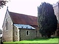
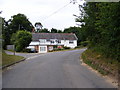
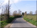
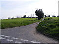
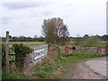
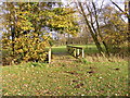
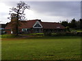

66 photos from this area
Area Information
Key information about the IP17 1PZ including its size, population, and administrative classification.
- Area Type
- Postcode
- Area Size
- 1.0 hectares
- Population
- 1984
- Population Density
- 51 people/km²
House Prices in IP17 1PZ
6
Properties
£256,690
Average Sold Price
£155,000
Lowest Price
£342,500
Highest Price
Showing 6 properties
| Address | Type | Beds | Baths | Last Sale Price | Last Sale Date | |
|---|---|---|---|---|---|---|
| Highview House, Mill Lane, Stratford St Andrew, IP17 1PZ | Detached | - | - | £289,950 | May 2004 | |
| The Hemplands, Mill Lane, Stratford St Andrew, IP17 1PZ | Detached | - | - | £342,500 | Apr 2004 | |
| Wayside House, Mill Lane, Stratford St Andrew, IP17 1PZ | Detached | - | - | £320,000 | Sep 2003 | |
| Mill Barn, Mill Lane, Stratford St Andrew, IP17 1PZ | Detached | - | - | £176,000 | Jul 1999 | |
| Churchview Lodge, Mill Lane, Stratford St Andrew, IP17 1PZ | Detached | 4 | - | £155,000 | Apr 1998 | |
| Mobile Home Mill Paddocks, Mill Lane, Stratford St Andrew, IP17 1PZ | Mobile Home | - | - | - | - |
Energy Efficiency in IP17 1PZ
Amenities
Schools
| Rank | School | Type | Entry gender | Ages |
|---|
Explore more schools in this area
Go to Schools tabDemographics
Household Size
Two person
most common
Accommodation Type
Houses
most common
Tenure
78
majority
Ethnic Group
White
most common
Religion
N/A
most common
Household Composition
N/A
most common
Age
47
median
Adults (30-64 years)
most common
Household Deprivation
N/A
with no deprivation
NS-SEC
39
in Lower managerial occupations
Explore more demographic insights in this area
Go to Demographics tabPlanning
Planning Constraints
- Flood RiskPremium
- Ramsar Wetland SitesPremium
- Area of Outstanding Natural BeautyPremium
- Protected Nature ReservePremium
- Protected WoodlandPremium