Area Overview for IP17 1GN
Photos of IP17 1GN
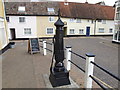
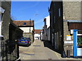
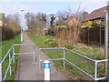
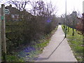
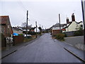
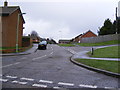
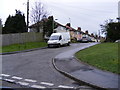
100 photos from this area
Area Information
Key information about the IP17 1GN including its size, population, and administrative classification.
- Area Type
- Postcode
- Area Size
- 2.0 hectares
- Population
- 2273
- Population Density
- 568 people/km²
House Prices in IP17 1GN
31
Properties
£266,269
Average Sold Price
£145,000
Lowest Price
£435,000
Highest Price
Showing 31 properties
| Address | Type | Beds | Baths | Last Sale Price | Last Sale Date | |
|---|---|---|---|---|---|---|
| 125 Warren Avenue, Saxmundham, IP17 1GN | Terraced | 3 | 1 | £247,500 | Sep 2025 | |
| 127 Warren Avenue, Saxmundham, IP17 1GN | Retail | 2 | 1 | £217,500 | May 2022 | |
| 99 Warren Avenue, Saxmundham, IP17 1GN | Retail | 3 | 3 | £264,000 | Mar 2022 | |
| 91 Warren Avenue, Saxmundham, IP17 1GN | house | - | - | £287,500 | Feb 2022 | |
| 85 Warren Avenue, Saxmundham, IP17 1GN | Flat | - | - | £198,000 | Sep 2021 | |
| 133 Warren Avenue, Saxmundham, IP17 1GN | house | - | - | £262,000 | Jan 2021 | |
| 71 Warren Avenue, Saxmundham, IP17 1GN | house | - | - | £257,000 | Nov 2020 | |
| 107 Warren Avenue, Saxmundham, IP17 1GN | Detached | 4 | 2 | £357,500 | Apr 2020 | |
| 73 Warren Avenue, Saxmundham, IP17 1GN | Semi-detached | 4 | 2 | £249,000 | Oct 2019 | |
| 95 Warren Avenue, Saxmundham, IP17 1GN | Maisonette | - | - | £175,000 | Oct 2019 |
Page 1 of 4
Energy Efficiency in IP17 1GN
Amenities
Schools
| Rank | School | Type | Entry gender | Ages |
|---|
Explore more schools in this area
Go to Schools tabDemographics
Household Size
One person
most common
Accommodation Type
Houses
most common
Tenure
64
majority
Ethnic Group
White
most common
Religion
N/A
most common
Household Composition
N/A
most common
Age
47
median
Adults (30-64 years)
most common
Household Deprivation
N/A
with no deprivation
NS-SEC
32
in Lower managerial occupations
Explore more demographic insights in this area
Go to Demographics tabPlanning
Planning Constraints
- Flood RiskPremium
- Ramsar Wetland SitesPremium
- Area of Outstanding Natural BeautyPremium
- Protected Nature ReservePremium
- Protected WoodlandPremium