Area Overview for IP15 5JZ
Photos of IP15 5JZ
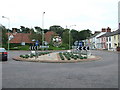
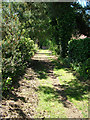
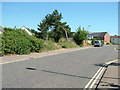
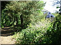
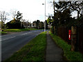
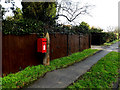
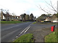
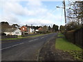
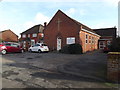
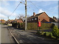
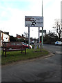
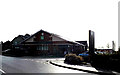
100 photos from this area
Area Information
Key information about the IP15 5JZ including its size, population, and administrative classification.
- Area Type
- Postcode
- Area Size
- 8840 m²
- Population
- 2043
- Population Density
- 136 people/km²
House Prices in IP15 5JZ
12
Properties
£367,591
Average Sold Price
£245,000
Lowest Price
£700,000
Highest Price
Showing 12 properties
| Address | Type | Beds | Baths | Last Sale Price | Last Sale Date | |
|---|---|---|---|---|---|---|
| 7 Silver Drive, Aldeburgh, IP15 5JZ | Bungalow | 2 | 1 | £320,000 | Jul 2025 | |
| 25 Silver Drive, Aldeburgh, IP15 5JZ | Bungalow | 4 | 2 | £700,000 | Jun 2022 | |
| 21 Silver Drive, Aldeburgh, IP15 5JZ | Bungalow | - | - | £318,500 | May 2021 | |
| 5 Silver Drive, Aldeburgh, IP15 5JZ | Bungalow | - | - | £335,000 | Apr 2019 | |
| 19 Silver Drive, Aldeburgh, IP15 5JZ | Bungalow | 3 | 2 | £457,000 | Mar 2017 | |
| 9 Silver Drive, Aldeburgh, IP15 5JZ | Bungalow | 3 | 2 | £345,000 | Feb 2015 | |
| 17 Silver Drive, Aldeburgh, IP15 5JZ | Bungalow | 3 | - | £390,000 | Jul 2014 | |
| 11 Silver Drive, Aldeburgh, IP15 5JZ | Bungalow | 3 | 2 | £360,000 | Apr 2012 | |
| 23 Silver Drive, Aldeburgh, IP15 5JZ | Bungalow | 3 | 1 | £245,000 | Apr 2012 | |
| 15 Silver Drive, Aldeburgh, IP15 5JZ | Bungalow | 3 | - | £248,000 | Aug 2011 |
Page 1 of 2
Energy Efficiency in IP15 5JZ
Amenities
Schools
| Rank | School | Type | Entry gender | Ages |
|---|
Explore more schools in this area
Go to Schools tabDemographics
Household Size
Two person
most common
Accommodation Type
Houses
most common
Tenure
79
majority
Ethnic Group
White
most common
Religion
N/A
most common
Household Composition
N/A
most common
Age
70
median
Elderly (65+ years)
most common
Household Deprivation
N/A
with no deprivation
NS-SEC
42
in Lower managerial occupations
Explore more demographic insights in this area
Go to Demographics tabPlanning
Planning Constraints
- Flood RiskPremium
- Ramsar Wetland SitesPremium
- Area of Outstanding Natural BeautyPremium
- Protected Nature ReservePremium
- Protected WoodlandPremium