Area Overview for IP15 5JT
Photos of IP15 5JT
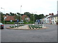
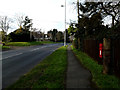
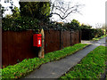
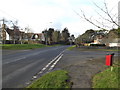
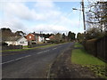
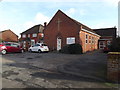
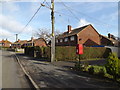
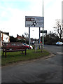
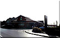
100 photos from this area
Area Information
Key information about the IP15 5JT including its size, population, and administrative classification.
- Area Type
- Postcode
- Area Size
- 3.9 hectares
- Population
- 1169
- Population Density
- 441 people/km²
House Prices in IP15 5JT
65
Properties
£184,124
Average Sold Price
£45,000
Lowest Price
£390,000
Highest Price
Showing 65 properties
| Address | Type | Beds | Baths | Last Sale Price | Last Sale Date | |
|---|---|---|---|---|---|---|
| 16 Franklin Road, Aldeburgh, IP15 5JT | Semi-detached | 3 | 2 | £390,000 | Mar 2025 | |
| 20 Franklin Road, Aldeburgh, IP15 5JT | house | - | - | £300,000 | Aug 2021 | |
| 45 Franklin Road, Aldeburgh, IP15 5JT | house | - | - | £285,000 | Sep 2020 | |
| 66 Franklin Road, Aldeburgh, IP15 5JT | Semi-detached | 3 | 1 | £286,000 | Jul 2018 | |
| 13 Franklin Road, Aldeburgh, IP15 5JT | Semi-detached | 3 | 1 | £200,000 | Oct 2017 | |
| 26 Franklin Road, Aldeburgh, IP15 5JT | Terraced | 2 | 1 | £165,000 | Aug 2014 | |
| 30 Franklin Road, Aldeburgh, IP15 5JT | Semi-detached | 4 | 1 | £170,000 | Nov 2012 | |
| Swonnells, Franklin Road, Aldeburgh, IP15 5JT | Bungalow | 2 | - | £163,000 | Dec 2011 | |
| 44 Franklin Road, Aldeburgh, IP15 5JT | Semi-detached | - | - | £199,995 | Apr 2007 | |
| 15 Franklin Road, Aldeburgh, IP15 5JT | Semi-detached | - | - | £181,000 | May 2006 |
Page 1 of 7
Energy Efficiency in IP15 5JT
Amenities
Schools
| Rank | School | Type | Entry gender | Ages |
|---|
Explore more schools in this area
Go to Schools tabDemographics
Household Size
One person
most common
Accommodation Type
Houses
most common
Tenure
60
majority
Ethnic Group
White
most common
Religion
N/A
most common
Household Composition
N/A
most common
Age
47
median
Adults (30-64 years)
most common
Household Deprivation
N/A
with no deprivation
NS-SEC
33
in Lower managerial occupations
Explore more demographic insights in this area
Go to Demographics tabPlanning
Planning Constraints
- Flood RiskPremium
- Ramsar Wetland SitesPremium
- Area of Outstanding Natural BeautyPremium
- Protected Nature ReservePremium
- Protected WoodlandPremium