Area Overview for IP12 4NH
Photos of IP12 4NH
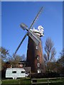
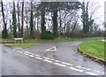
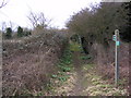
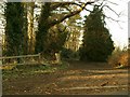
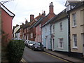
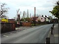
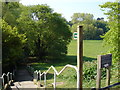
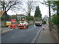
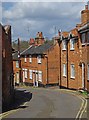
100 photos from this area
Area Information
Key information about the IP12 4NH including its size, population, and administrative classification.
- Area Type
- Postcode
- Area Size
- 2.4 hectares
- Population
- 1998
- Population Density
- 2584 people/km²
House Prices in IP12 4NH
34
Properties
£317,298
Average Sold Price
£98,000
Lowest Price
£566,250
Highest Price
Showing 34 properties
| Address | Type | Beds | Baths | Last Sale Price | Last Sale Date | |
|---|---|---|---|---|---|---|
| 24 Bredfield Street, Woodbridge, IP12 4NH | Terraced | 2 | 1 | £318,000 | Aug 2025 | |
| 31 Bredfield Street, Woodbridge, IP12 4NH | house | - | - | £425,000 | Feb 2025 | |
| 39 Bredfield Street, Woodbridge, IP12 4NH | Semi-detached | 3 | 1 | £500,000 | Jul 2024 | |
| 25 Bredfield Street, Woodbridge, IP12 4NH | house | 2 | 1 | £350,000 | May 2024 | |
| Half Bake Cottage, 27 Bredfield Street, Woodbridge, IP12 4NH | Terraced | 2 | 1 | £345,000 | Feb 2023 | |
| 38 Bredfield Street, Woodbridge, IP12 4NH | Semi-detached | 3 | - | £445,000 | Jun 2021 | |
| 33 Bredfield Street, Woodbridge, IP12 4NH | house | - | - | £250,000 | Feb 2021 | |
| 34 Bredfield Street, Woodbridge, IP12 4NH | house | - | - | £405,000 | Oct 2020 | |
| 35 Bredfield Street, Woodbridge, IP12 4NH | Terraced | - | - | £365,000 | Mar 2020 | |
| 32 Bredfield Street, Woodbridge, IP12 4NH | Terraced | 2 | 1 | £315,000 | Oct 2019 |
Page 1 of 4
Energy Efficiency in IP12 4NH
Amenities
Schools
| Rank | School | Type | Entry gender | Ages |
|---|
Explore more schools in this area
Go to Schools tabDemographics
Household Size
Two person
most common
Accommodation Type
Houses
most common
Tenure
74
majority
Ethnic Group
White
most common
Religion
N/A
most common
Household Composition
N/A
most common
Age
47
median
Adults (30-64 years)
most common
Household Deprivation
N/A
with no deprivation
NS-SEC
36
in Lower managerial occupations
Explore more demographic insights in this area
Go to Demographics tabPlanning
Planning Constraints
- Flood RiskPremium
- Ramsar Wetland SitesPremium
- Area of Outstanding Natural BeautyPremium
- Protected Nature ReservePremium
- Protected WoodlandPremium