Area Overview for IP12 4BE
Photos of IP12 4BE
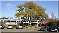
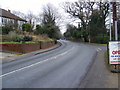
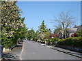
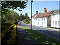
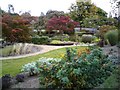
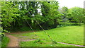
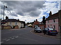
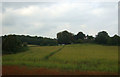
99 photos from this area
Area Information
Key information about the IP12 4BE including its size, population, and administrative classification.
- Area Type
- Postcode
- Area Size
- 1.2 hectares
- Population
- 1973
- Population Density
- 819 people/km²
House Prices in IP12 4BE
24
Properties
£341,371
Average Sold Price
£150,000
Lowest Price
£485,000
Highest Price
Showing 24 properties
| Address | Type | Beds | Baths | Last Sale Price | Last Sale Date | |
|---|---|---|---|---|---|---|
| 4 Westholme Close, Woodbridge, IP12 4BE | house | - | - | £485,000 | Oct 2018 | |
| 16 Westholme Close, Woodbridge, IP12 4BE | Detached | 3 | 2 | £395,000 | Sep 2017 | |
| 26 Westholme Close, Woodbridge, IP12 4BE | house | 4 | 1 | £425,000 | Sep 2017 | |
| 11 Westholme Close, Woodbridge, IP12 4BE | house | - | - | £330,000 | Dec 2016 | |
| 1 Westholme Close, Woodbridge, IP12 4BE | Detached | 3 | 1 | £385,000 | Nov 2016 | |
| 20 Westholme Close, Woodbridge, IP12 4BE | Detached | 3 | - | £350,000 | May 2014 | |
| 7 Westholme Close, Woodbridge, IP12 4BE | house | 3 | 2 | £305,000 | Dec 2012 | |
| 14 Westholme Close, Woodbridge, IP12 4BE | Semi-detached | 3 | 1 | £150,000 | Oct 2012 | |
| 5 Westholme Close, Woodbridge, IP12 4BE | house | 3 | 1 | £289,950 | Mar 2010 | |
| 19 Westholme Close, Woodbridge, IP12 4BE | house | - | - | £277,500 | Aug 2009 |
Page 1 of 3
Energy Efficiency in IP12 4BE
Amenities
Schools
| Rank | School | Type | Entry gender | Ages |
|---|
Explore more schools in this area
Go to Schools tabDemographics
Household Size
One person
most common
Accommodation Type
Houses
most common
Tenure
77
majority
Ethnic Group
White
most common
Religion
N/A
most common
Household Composition
N/A
most common
Age
47
median
Elderly (65+ years)
most common
Household Deprivation
N/A
with no deprivation
NS-SEC
50
in Lower managerial occupations
Explore more demographic insights in this area
Go to Demographics tabPlanning
Planning Constraints
- Flood RiskPremium
- Ramsar Wetland SitesPremium
- Area of Outstanding Natural BeautyPremium
- Protected Nature ReservePremium
- Protected WoodlandPremium