Area Overview for IP12 2QG
Photos of IP12 2QG
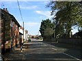
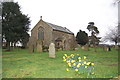
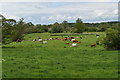
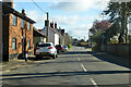
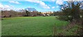
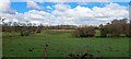
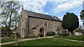

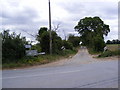

36 photos from this area
Area Information
Key information about the IP12 2QG including its size, population, and administrative classification.
- Area Type
- Postcode
- Area Size
- 7.1 hectares
- Population
- 2876
- Population Density
- 42 people/km²
House Prices in IP12 2QG
41
Properties
£290,102
Average Sold Price
£60,000
Lowest Price
£690,000
Highest Price
Showing 41 properties
| Address | Type | Beds | Baths | Last Sale Price | Last Sale Date | |
|---|---|---|---|---|---|---|
| Valley View, The Street, Eyke, IP12 2QG | Bungalow | 3 | 2 | £465,000 | May 2025 | |
| Stanelagh, The Street, Eyke, IP12 2QG | Detached | 4 | 1 | £690,000 | Sep 2024 | |
| The Homestead, The Street, Eyke, IP12 2QG | Bungalow | 3 | 2 | £360,000 | Aug 2022 | |
| 2, Bear View, The Street, Eyke, IP12 2QG | Chalet | 4 | - | £300,000 | Apr 2018 | |
| Prospect Cottage, 189 The Street, Eyke, IP12 2QG | Semi-detached | 2 | 1 | £240,000 | Sep 2017 | |
| Limes Farmhouse, The Street, Eyke, IP12 2QG | Detached | 5 | 4 | £410,000 | May 2017 | |
| Little Oaks, The Street, Eyke, IP12 2QG | Bungalow | 4 | - | £532,500 | Nov 2016 | |
| Mill House, The Street, Eyke, IP12 2QG | house | - | - | £330,000 | Oct 2016 | |
| Badgers Bend, The Street, Eyke, IP12 2QG | Detached | - | - | £247,000 | Sep 2016 | |
| Hope Cottage, 188 The Street, Eyke, IP12 2QG | house | 2 | 1 | £169,500 | Dec 2015 |
Page 1 of 5
Energy Efficiency in IP12 2QG
Amenities
Schools
| Rank | School | Type | Entry gender | Ages |
|---|
Explore more schools in this area
Go to Schools tabDemographics
Household Size
Two person
most common
Accommodation Type
Houses
most common
Tenure
74
majority
Ethnic Group
White
most common
Religion
N/A
most common
Household Composition
N/A
most common
Age
47
median
Adults (30-64 years)
most common
Household Deprivation
N/A
with no deprivation
NS-SEC
27
in Lower managerial occupations
Explore more demographic insights in this area
Go to Demographics tabPlanning
Planning Constraints
- Flood RiskPremium
- Ramsar Wetland SitesPremium
- Area of Outstanding Natural BeautyPremium
- Protected Nature ReservePremium
- Protected WoodlandPremium