Area Overview for IP12 1LJ
Photos of IP12 1LJ
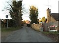
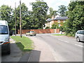
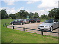
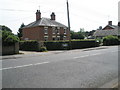
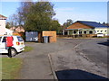
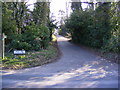
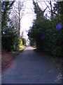
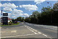
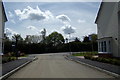
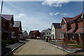
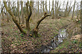
48 photos from this area
Area Information
Key information about the IP12 1LJ including its size, population, and administrative classification.
- Area Type
- Postcode
- Area Size
- 10.3 hectares
- Population
- 1584
- Population Density
- 1681 people/km²
House Prices in IP12 1LJ
11
Properties
£678,000
Average Sold Price
£290,000
Lowest Price
£1,570,000
Highest Price
Showing 11 properties
| Address | Type | Beds | Baths | Last Sale Price | Last Sale Date | |
|---|---|---|---|---|---|---|
| Valley View, Valley Farm Road, Melton, IP12 1LJ | Bungalow | 3 | 2 | £500,000 | Mar 2025 | |
| 2 Valley Farm Road, Melton, IP12 1LJ | Bungalow | 2 | 2 | £290,000 | Jun 2014 | |
| Pines, Valley Farm Road, Melton, IP12 1LJ | Bungalow | 4 | 3 | £430,000 | Oct 2012 | |
| Long Springs, Valley Farm Road, Melton, IP12 1LJ | Detached | - | - | £1,570,000 | Mar 2009 | |
| Potash Farm, Valley Farm Road, Melton, IP12 1LJ | Detached | - | - | £600,000 | Oct 2008 | |
| Ambleside Cottage, Valley Farm Road, Melton, IP12 1LJ | house | - | - | - | - | |
| 11 Valley Farm Road, Melton, IP12 1LJ | Detached | - | - | - | - | |
| Potash Bungalow, Valley Farm Road, Melton, IP12 1LJ | Detached | - | - | - | - | |
| Gawsworth, Valley Farm Road, Melton, IP12 1LJ | Bungalow | 2 | 1 | - | - | |
| Caravan, The Slaughter House, Valley Farm Road, Melton, IP12 1LJ | Mobile Home | - | - | - | - |
Page 1 of 2
Energy Efficiency in IP12 1LJ
Amenities
Schools
| Rank | School | Type | Entry gender | Ages |
|---|
Explore more schools in this area
Go to Schools tabDemographics
Household Size
Two person
most common
Accommodation Type
Houses
most common
Tenure
89
majority
Ethnic Group
White
most common
Religion
N/A
most common
Household Composition
N/A
most common
Age
47
median
Adults (30-64 years)
most common
Household Deprivation
N/A
with no deprivation
NS-SEC
49
in Lower managerial occupations
Explore more demographic insights in this area
Go to Demographics tabPlanning
Planning Constraints
- Flood RiskPremium
- Ramsar Wetland SitesPremium
- Area of Outstanding Natural BeautyPremium
- Protected Nature ReservePremium
- Protected WoodlandPremium