Area Overview for IP11 0SA
Photos of IP11 0SA
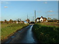
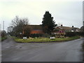
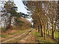
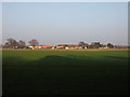
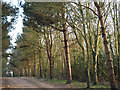
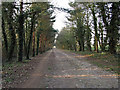
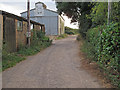
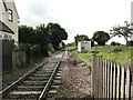
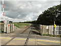
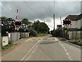
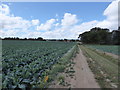
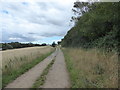
42 photos from this area
Area Information
Key information about the IP11 0SA including its size, population, and administrative classification.
- Area Type
- Postcode
- Area Size
- 16.6 hectares
- Population
- 1488
- Population Density
- 176 people/km²
House Prices in IP11 0SA
17
Properties
£331,250
Average Sold Price
£84,500
Lowest Price
£880,000
Highest Price
Showing 17 properties
| Address | Type | Beds | Baths | Last Sale Price | Last Sale Date | |
|---|---|---|---|---|---|---|
| Thorpe View Cottage, 67A Grimston Lane, Trimley St Martin, IP11 0SA | Detached | 4 | 3 | £880,000 | Oct 2023 | |
| Larchwood, 43 Grimston Lane, Trimley St Martin, IP11 0SA | house | - | - | £140,000 | Dec 2019 | |
| 41 Grimston Lane, Trimley St Martin, IP11 0SA | house | 3 | 1 | £140,000 | Dec 2019 | |
| The Orchard, 49 Grimston Lane, Trimley St Martin, IP11 0SA | Land | - | - | £140,000 | Oct 2019 | |
| 57 Grimston Lane, Trimley St Martin, IP11 0SA | Detached | 4 | 3 | £515,000 | Nov 2017 | |
| 63 Grimston Lane, Trimley St Martin, IP11 0SA | Detached | 4 | - | £368,000 | Apr 2014 | |
| 65 Grimston Lane, Trimley St Martin, IP11 0SA | Bungalow | - | - | £330,000 | Sep 2011 | |
| 59 Grimston Lane, Trimley St Martin, IP11 0SA | Bungalow | - | - | £250,000 | Aug 2011 | |
| 51 Grimston Lane, Trimley St Martin, IP11 0SA | Bungalow | - | - | £465,000 | Jun 2007 | |
| 61 Grimston Lane, Trimley St Martin, IP11 0SA | Bungalow | - | - | £84,500 | Jul 1995 |
Page 1 of 2
Energy Efficiency in IP11 0SA
Amenities
Schools
| Rank | School | Type | Entry gender | Ages |
|---|
Explore more schools in this area
Go to Schools tabDemographics
Household Size
Two person
most common
Accommodation Type
Houses
most common
Tenure
80
majority
Ethnic Group
White
most common
Religion
N/A
most common
Household Composition
N/A
most common
Age
47
median
Adults (30-64 years)
most common
Household Deprivation
N/A
with no deprivation
NS-SEC
32
in Lower managerial occupations
Explore more demographic insights in this area
Go to Demographics tabPlanning
Planning Constraints
- Flood RiskPremium
- Ramsar Wetland SitesPremium
- Area of Outstanding Natural BeautyPremium
- Protected Nature ReservePremium
- Protected WoodlandPremium