Area Overview for IP1 5BZ
Photos of IP1 5BZ
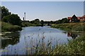
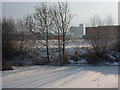
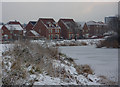
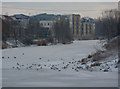
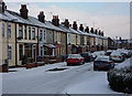
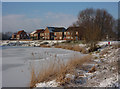
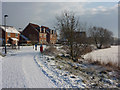
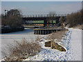
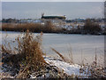
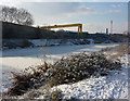
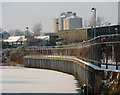
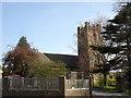
65 photos from this area
Area Information
Key information about the IP1 5BZ including its size, population, and administrative classification.
- Area Type
- Postcode
- Area Size
- 7045 m²
- Population
- 2072
- Population Density
- 3963 people/km²
House Prices in IP1 5BZ
37
Properties
£114,938
Average Sold Price
£30,000
Lowest Price
£235,000
Highest Price
Showing 37 properties
| Address | Type | Beds | Baths | Last Sale Price | Last Sale Date | |
|---|---|---|---|---|---|---|
| 48 Wallace Road, Ipswich, IP1 5BZ | Terraced | 2 | 1 | £166,000 | Aug 2025 | |
| 80 Wallace Road, Ipswich, IP1 5BZ | Terraced | 2 | 1 | £175,000 | Apr 2025 | |
| 68 Wallace Road, Ipswich, IP1 5BZ | Semi-detached | 3 | 2 | £235,000 | Nov 2024 | |
| 106 Wallace Road, Ipswich, IP1 5BZ | Terraced | 2 | 2 | £180,750 | Jun 2024 | |
| 72 Wallace Road, Ipswich, IP1 5BZ | Semi-detached | 5 | 2 | £230,000 | Jun 2023 | |
| 118 Wallace Road, Ipswich, IP1 5BZ | house | - | - | £200,000 | Jul 2022 | |
| 114 Wallace Road, Ipswich, IP1 5BZ | Terraced | 3 | 1 | £185,500 | Feb 2022 | |
| 128 Wallace Road, Ipswich, IP1 5BZ | Terraced | 3 | - | £165,000 | Mar 2021 | |
| 52 Wallace Road, Ipswich, IP1 5BZ | house | - | - | £130,500 | Jun 2018 | |
| 70 Wallace Road, Ipswich, IP1 5BZ | Semi-detached | 2 | 1 | £175,000 | Apr 2017 |
Page 1 of 4
Energy Efficiency in IP1 5BZ
Amenities
Schools
| Rank | School | Type | Entry gender | Ages |
|---|
Explore more schools in this area
Go to Schools tabDemographics
Household Size
Family (3-5 people)
most common
Accommodation Type
Houses
most common
Tenure
61
majority
Ethnic Group
White
most common
Religion
N/A
most common
Household Composition
N/A
most common
Age
47
median
Adults (30-64 years)
most common
Household Deprivation
N/A
with no deprivation
NS-SEC
25
in Lower managerial occupations
Explore more demographic insights in this area
Go to Demographics tabPlanning
Planning Constraints
- Flood RiskPremium
- Ramsar Wetland SitesPremium
- Area of Outstanding Natural BeautyPremium
- Protected Nature ReservePremium
- Protected WoodlandPremium