Area Overview for IG9 5HP
Photos of IG9 5HP
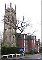
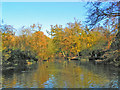
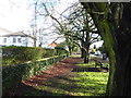
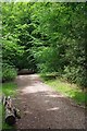
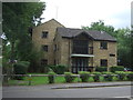
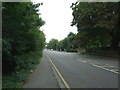
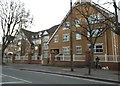
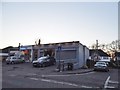
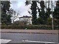
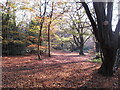
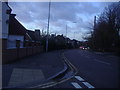
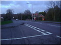
25 photos from this area
Area Information
Key information about the IG9 5HP including its size, population, and administrative classification.
- Area Type
- Postcode
- Area Size
- 1.0 hectares
- Population
- 1678
- Population Density
- 3142 people/km²
House Prices in IG9 5HP
34
Properties
£516,111
Average Sold Price
£82,500
Lowest Price
£1,285,000
Highest Price
Showing 34 properties
| Address | Type | Beds | Baths | Last Sale Price | Last Sale Date | |
|---|---|---|---|---|---|---|
| 36 High Road, Buckhurst Hill, IG9 5HP | Terraced | 3 | 1 | £482,500 | Jun 2021 | |
| 36A High Road, Buckhurst Hill, IG9 5HP | house | - | - | £490,000 | Feb 2021 | |
| 10A High Road, Buckhurst Hill, IG9 5HP | Semi-detached | 5 | - | £847,000 | Jan 2021 | |
| 12 High Road, Buckhurst Hill, IG9 5HP | Bungalow | 4 | 3 | £1,285,000 | Sep 2018 | |
| 4 High Road, Buckhurst Hill, IG9 5HP | Terraced | - | - | £620,000 | Jun 2017 | |
| 24 High Road, Buckhurst Hill, IG9 5HP | Bungalow | - | - | £330,000 | Nov 2009 | |
| 8A High Road, Buckhurst Hill, IG9 5HP | house | - | - | £348,000 | Mar 2003 | |
| 34 High Road, Buckhurst Hill, IG9 5HP | Terraced | - | - | £82,500 | Jul 1996 | |
| 14 High Road, Buckhurst Hill, IG9 5HP | Detached | - | - | £160,000 | Jul 1996 | |
| 42B High Road, Buckhurst Hill, IG9 5HP | Flat | 4 | 1 | - | - |
Page 1 of 4
Energy Efficiency in IG9 5HP
Amenities
Schools
| Rank | School | Type | Entry gender | Ages |
|---|
Explore more schools in this area
Go to Schools tabDemographics
Household Size
Family (3-5 people)
most common
Accommodation Type
Houses
most common
Tenure
75
majority
Ethnic Group
White
most common
Religion
N/A
most common
Household Composition
N/A
most common
Age
47
median
Adults (30-64 years)
most common
Household Deprivation
N/A
with no deprivation
NS-SEC
50
in Lower managerial occupations
Explore more demographic insights in this area
Go to Demographics tabPlanning
Planning Constraints
- Flood RiskPremium
- Ramsar Wetland SitesPremium
- Area of Outstanding Natural BeautyPremium
- Protected Nature ReservePremium
- Protected WoodlandPremium