Area Overview for HP4 3RR
Photos of HP4 3RR
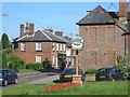
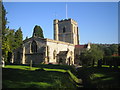
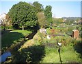
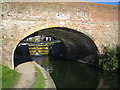
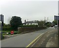
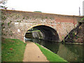
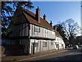
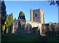
52 photos from this area
Area Information
Key information about the HP4 3RR including its size, population, and administrative classification.
- Area Type
- Postcode
- Area Size
- 9516 m²
- Population
- 1481
- Population Density
- 103 people/km²
House Prices in HP4 3RR
17
Properties
£392,571
Average Sold Price
£109,000
Lowest Price
£625,000
Highest Price
Showing 17 properties
| Address | Type | Beds | Baths | Last Sale Price | Last Sale Date | |
|---|---|---|---|---|---|---|
| 14 Covert Road, Northchurch, Berkhamsted, HP4 3RR | Semi-detached | 2 | 2 | £540,000 | Jun 2022 | |
| 8 Covert Road, Northchurch, Berkhamsted, HP4 3RR | Bungalow | 2 | 1 | £575,000 | May 2022 | |
| 6 Covert Road, Northchurch, Berkhamsted, HP4 3RR | Bungalow | - | - | £515,000 | Nov 2021 | |
| 10 Covert Road, Northchurch, Berkhamsted, HP4 3RR | Bungalow | - | - | £520,000 | Oct 2017 | |
| 2 Covert Road, Northchurch, Berkhamsted, HP4 3RR | Bungalow | - | - | £580,000 | Apr 2017 | |
| 3 Covert Road, Northchurch, Berkhamsted, HP4 3RR | Detached | - | - | £625,000 | Aug 2015 | |
| 16 Covert Road, Northchurch, Berkhamsted, HP4 3RR | Bungalow | 5 | - | £565,000 | Jul 2011 | |
| 1 Covert Road, Northchurch, Berkhamsted, HP4 3RR | Mobile Home | 2 | - | £450,000 | Mar 2008 | |
| 7 Covert Road, Northchurch, Berkhamsted, HP4 3RR | Detached | - | - | £385,000 | Sep 2004 | |
| 4 Covert Road, Northchurch, Berkhamsted, HP4 3RR | Bungalow | 2 | 1 | £165,000 | Apr 2000 |
Page 1 of 2
Energy Efficiency in HP4 3RR
Amenities
Schools
| Rank | School | Type | Entry gender | Ages |
|---|
Explore more schools in this area
Go to Schools tabDemographics
Household Size
Two person
most common
Accommodation Type
Houses
most common
Tenure
89
majority
Ethnic Group
White
most common
Religion
N/A
most common
Household Composition
N/A
most common
Age
47
median
Adults (30-64 years)
most common
Household Deprivation
N/A
with no deprivation
NS-SEC
48
in Lower managerial occupations
Explore more demographic insights in this area
Go to Demographics tabPlanning
Planning Constraints
- Flood RiskPremium
- Ramsar Wetland SitesPremium
- Area of Outstanding Natural BeautyPremium
- Protected Nature ReservePremium
- Protected WoodlandPremium