Area Overview for HP4 2EB
Photos of HP4 2EB
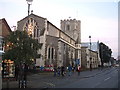
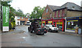
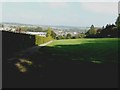
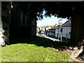
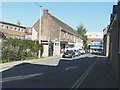
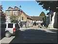
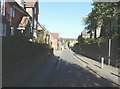
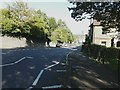
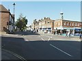
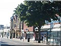
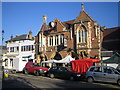
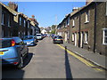
100 photos from this area
Area Information
Key information about the HP4 2EB including its size, population, and administrative classification.
- Area Type
- Postcode
- Area Size
- 5635 m²
- Population
- 1660
- Population Density
- 3319 people/km²
House Prices in HP4 2EB
33
Properties
£348,291
Average Sold Price
£137,500
Lowest Price
£510,000
Highest Price
Showing 33 properties
| Address | Type | Beds | Baths | Last Sale Price | Last Sale Date | |
|---|---|---|---|---|---|---|
| 28 Bridge Street, Berkhamsted, HP4 2EB | house | 2 | 1 | £475,000 | Oct 2025 | |
| 21 Bridge Street, Berkhamsted, HP4 2EB | Terraced | 2 | 1 | £500,000 | Jun 2025 | |
| 24 Bridge Street, Berkhamsted, HP4 2EB | Terraced | 2 | 1 | £487,000 | Mar 2025 | |
| 13 Bridge Street, Berkhamsted, HP4 2EB | Terraced | 2 | 1 | £470,000 | Mar 2025 | |
| 8 Bridge Street, Berkhamsted, HP4 2EB | house | - | - | £450,000 | Jan 2025 | |
| 17 Bridge Street, Berkhamsted, HP4 2EB | Terraced | 2 | 1 | £510,000 | Sep 2024 | |
| 12 Bridge Street, Berkhamsted, HP4 2EB | Terraced | 2 | 1 | £471,500 | Jul 2024 | |
| 11 Bridge Street, Berkhamsted, HP4 2EB | Terraced | 1 | 1 | £425,000 | Mar 2024 | |
| 29 Bridge Street, Berkhamsted, HP4 2EB | Retail | 2 | 1 | £477,500 | Oct 2022 | |
| 2 Bridge Street, Berkhamsted, HP4 2EB | Terraced | 2 | 1 | £445,000 | May 2022 |
Page 1 of 4
Energy Efficiency in HP4 2EB
Amenities
Schools
| Rank | School | Type | Entry gender | Ages |
|---|
Explore more schools in this area
Go to Schools tabDemographics
Household Size
One person
most common
Accommodation Type
Houses
most common
Tenure
53
majority
Ethnic Group
White
most common
Religion
N/A
most common
Household Composition
N/A
most common
Age
47
median
Adults (30-64 years)
most common
Household Deprivation
N/A
with no deprivation
NS-SEC
55
in Lower managerial occupations
Explore more demographic insights in this area
Go to Demographics tabPlanning
Planning Constraints
- Flood RiskPremium
- Ramsar Wetland SitesPremium
- Area of Outstanding Natural BeautyPremium
- Protected Nature ReservePremium
- Protected WoodlandPremium