Area Overview for HP3 8NW
Photos of HP3 8NW
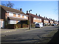
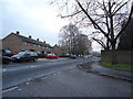
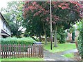
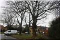
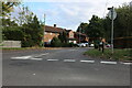
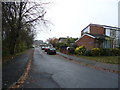
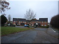
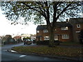
10 photos from this area
Area Information
Key information about the HP3 8NW including its size, population, and administrative classification.
- Area Type
- Postcode
- Area Size
- 2.3 hectares
- Population
- 1256
- Population Density
- 3768 people/km²
House Prices in HP3 8NW
34
Properties
£462,694
Average Sold Price
£249,000
Lowest Price
£715,000
Highest Price
Showing 34 properties
| Address | Type | Beds | Baths | Last Sale Price | Last Sale Date | |
|---|---|---|---|---|---|---|
| 94 Tile Kiln Lane, Hemel Hempstead, HP3 8NW | Detached | 3 | 2 | £690,000 | Jun 2025 | |
| 84 Tile Kiln Lane, Hemel Hempstead, HP3 8NW | Detached | 4 | 2 | £715,000 | Jul 2024 | |
| 90 Tile Kiln Lane, Hemel Hempstead, HP3 8NW | house | - | - | £350,000 | Apr 2023 | |
| 106 Tile Kiln Lane, Hemel Hempstead, HP3 8NW | Detached | 4 | 1 | £695,000 | Jun 2022 | |
| 93 Tile Kiln Lane, Hemel Hempstead, HP3 8NW | Detached | 4 | 2 | £600,000 | Jul 2019 | |
| 75 Tile Kiln Lane, Hemel Hempstead, HP3 8NW | Semi-detached | 3 | 1 | £482,500 | Aug 2016 | |
| 65 Tile Kiln Lane, Hemel Hempstead, HP3 8NW | Detached | 3 | 1 | £641,000 | Jul 2016 | |
| 86 Tile Kiln Lane, Hemel Hempstead, HP3 8NW | house | 4 | 2 | £462,500 | Nov 2012 | |
| 92 Tile Kiln Lane, Hemel Hempstead, HP3 8NW | house | - | - | £477,500 | Dec 2011 | |
| 80 Tile Kiln Lane, Hemel Hempstead, HP3 8NW | house | - | - | £525,000 | Dec 2010 |
Page 1 of 4
Energy Efficiency in HP3 8NW
Amenities
Schools
| Rank | School | Type | Entry gender | Ages |
|---|
Explore more schools in this area
Go to Schools tabDemographics
Household Size
Two person
most common
Accommodation Type
Houses
most common
Tenure
94
majority
Ethnic Group
White
most common
Religion
N/A
most common
Household Composition
N/A
most common
Age
47
median
Adults (30-64 years)
most common
Household Deprivation
N/A
with no deprivation
NS-SEC
47
in Lower managerial occupations
Explore more demographic insights in this area
Go to Demographics tabPlanning
Planning Constraints
- Flood RiskPremium
- Ramsar Wetland SitesPremium
- Area of Outstanding Natural BeautyPremium
- Protected Nature ReservePremium
- Protected WoodlandPremium