Area Overview for HP3 8DQ
Photos of HP3 8DQ
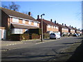
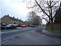
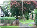
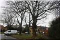
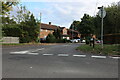
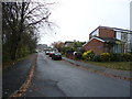
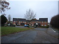
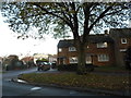
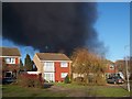
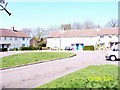
10 photos from this area
Area Information
Key information about the HP3 8DQ including its size, population, and administrative classification.
- Area Type
- Postcode
- Area Size
- 7358 m²
- Population
- 1691
- Population Density
- 6228 people/km²
House Prices in HP3 8DQ
26
Properties
£211,314
Average Sold Price
£46,950
Lowest Price
£388,000
Highest Price
Showing 26 properties
| Address | Type | Beds | Baths | Last Sale Price | Last Sale Date | |
|---|---|---|---|---|---|---|
| Bennetts End Lodge, Belsize Road, Hemel Hempstead, HP3 8DQ | Detached | 3 | 1 | £378,000 | Jan 2023 | |
| 98 Belsize Road, Hemel Hempstead, HP3 8DQ | Terraced | 3 | 1 | £388,000 | Mar 2022 | |
| 100 Belsize Road, Hemel Hempstead, HP3 8DQ | Terraced | 3 | 1 | £330,000 | Mar 2021 | |
| 102 Belsize Road, Hemel Hempstead, HP3 8DQ | Terraced | - | - | £292,500 | Mar 2021 | |
| 90 Belsize Road, Hemel Hempstead, HP3 8DQ | Terraced | 3 | 1 | £250,000 | Jan 2015 | |
| 76 Belsize Road, Hemel Hempstead, HP3 8DQ | Maisonette | 3 | - | £164,000 | Dec 2013 | |
| 88 Belsize Road, Hemel Hempstead, HP3 8DQ | Terraced | 3 | 1 | £179,000 | Nov 2006 | |
| 106 Belsize Road, Hemel Hempstead, HP3 8DQ | Terraced | - | - | £113,000 | Feb 2004 | |
| 92 Belsize Road, Hemel Hempstead, HP3 8DQ | Flat | - | - | £110,000 | Jul 2002 | |
| 96 Belsize Road, Hemel Hempstead, HP3 8DQ | Terraced | - | - | £73,000 | Nov 1997 |
Page 1 of 3
Energy Efficiency in HP3 8DQ
Amenities
Schools
| Rank | School | Type | Entry gender | Ages |
|---|
Explore more schools in this area
Go to Schools tabDemographics
Household Size
Family (3-5 people)
most common
Accommodation Type
Houses
most common
Tenure
46
majority
Ethnic Group
White
most common
Religion
N/A
most common
Household Composition
N/A
most common
Age
47
median
Adults (30-64 years)
most common
Household Deprivation
N/A
with no deprivation
NS-SEC
25
in Lower managerial occupations
Explore more demographic insights in this area
Go to Demographics tabPlanning
Planning Constraints
- Flood RiskPremium
- Ramsar Wetland SitesPremium
- Area of Outstanding Natural BeautyPremium
- Protected Nature ReservePremium
- Protected WoodlandPremium