Area Overview for HP23 6HE
Photos of HP23 6HE
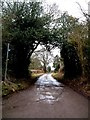
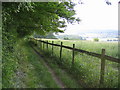
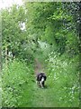
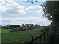
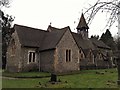
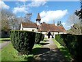
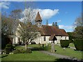
58 photos from this area
Area Information
Key information about the HP23 6HE including its size, population, and administrative classification.
- Area Type
- Postcode
- Area Size
- 13.3 hectares
- Population
- 2406
- Population Density
- 161 people/km²
House Prices in HP23 6HE
27
Properties
£706,147
Average Sold Price
£275,000
Lowest Price
£1,410,000
Highest Price
Showing 27 properties
| Address | Type | Beds | Baths | Last Sale Price | Last Sale Date | |
|---|---|---|---|---|---|---|
| Ashsprigg, 87 Hemp Lane, Wigginton, Tring, HP23 6HE | Bungalow | 4 | 2 | £950,000 | Mar 2025 | |
| Kiewa, Hemp Lane, Wigginton, Tring, HP23 6HE | Bungalow | 3 | 1 | £730,000 | Nov 2023 | |
| Chedworth, Hemp Lane, Wigginton, Tring, HP23 6HE | Detached | 4 | 2 | £1,000,000 | Sep 2023 | |
| 101 Hemp Lane, Wigginton, Tring, HP23 6HE | house | 4 | 3 | £1,172,500 | May 2022 | |
| Avalon, Hemp Lane, Wigginton, Tring, HP23 6HE | house | - | - | £1,410,000 | Feb 2022 | |
| Parma, Hemp Lane, Wigginton, Tring, HP23 6HE | Bungalow | 4 | 1 | £650,000 | Nov 2019 | |
| Kaitness, Hemp Lane, Wigginton, Tring, HP23 6HE | Detached | 4 | 2 | £650,000 | Oct 2014 | |
| Beeches, Hemp Lane, Wigginton, Tring, HP23 6HE | Detached | 3 | - | £535,000 | Jan 2014 | |
| 98 Hemp Lane, Wigginton, Tring, HP23 6HE | house | - | - | £685,000 | Nov 2013 | |
| Arbour House, Hemp Lane, Wigginton, Tring, HP23 6HE | house | - | - | £1,125,000 | Aug 2013 |
Page 1 of 3
Energy Efficiency in HP23 6HE
Amenities
Schools
| Rank | School | Type | Entry gender | Ages |
|---|
Explore more schools in this area
Go to Schools tabDemographics
Household Size
Two person
most common
Accommodation Type
Houses
most common
Tenure
79
majority
Ethnic Group
White
most common
Religion
N/A
most common
Household Composition
N/A
most common
Age
47
median
Adults (30-64 years)
most common
Household Deprivation
N/A
with no deprivation
NS-SEC
49
in Lower managerial occupations
Explore more demographic insights in this area
Go to Demographics tabPlanning
Planning Constraints
- Flood RiskPremium
- Ramsar Wetland SitesPremium
- Area of Outstanding Natural BeautyPremium
- Protected Nature ReservePremium
- Protected WoodlandPremium