Area Overview for HP23 4DE
Photos of HP23 4DE
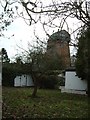
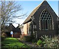
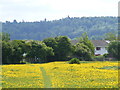
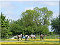
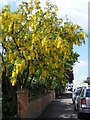
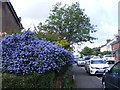
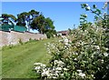
94 photos from this area
Area Information
Key information about the HP23 4DE including its size, population, and administrative classification.
- Area Type
- Postcode
- Area Size
- 5140 m²
- Population
- Not available
- Population Density
- Not available
House Prices in HP23 4DE
18
Properties
£533,578
Average Sold Price
£56,500
Lowest Price
£925,000
Highest Price
Showing 18 properties
| Address | Type | Beds | Baths | Last Sale Price | Last Sale Date | |
|---|---|---|---|---|---|---|
| 96 Longfield Road, Tring, HP23 4DE | Semi-detached | 4 | 3 | £783,300 | Oct 2025 | |
| 119 Longfield Road, Tring, HP23 4DE | Terraced | 3 | 1 | £690,500 | May 2025 | |
| 100 Longfield Road, Tring, HP23 4DE | Detached | 4 | 2 | £750,000 | Mar 2025 | |
| 115 Longfield Road, Tring, HP23 4DE | Terraced | - | - | £317,500 | Feb 2025 | |
| 111 Longfield Road, Tring, HP23 4DE | Detached | 4 | 2 | £795,000 | Oct 2024 | |
| 98 Longfield Road, Tring, HP23 4DE | Semi-detached | 4 | 2 | £690,000 | Aug 2024 | |
| 94 Longfield Road, Tring, HP23 4DE | Semi-detached | 3 | 3 | £690,000 | Jun 2023 | |
| 92 Longfield Road, Tring, HP23 4DE | Semi-detached | 4 | 3 | £690,000 | Jun 2023 | |
| 90 Longfield Road, Tring, HP23 4DE | Detached | 4 | 3 | £775,000 | Sep 2022 | |
| 120 Longfield Road, Tring, HP23 4DE | Semi-detached | 2 | - | £510,000 | May 2022 |
Page 1 of 2
Energy Efficiency in HP23 4DE
Amenities
Schools
| Rank | School | Type | Entry gender | Ages |
|---|
Explore more schools in this area
Go to Schools tabDemographics
Household Size
Family (3-5 people)
most common
Accommodation Type
Houses
most common
Tenure
85
majority
Ethnic Group
White
most common
Religion
N/A
most common
Household Composition
N/A
most common
Age
47
median
Adults (30-64 years)
most common
Household Deprivation
N/A
with no deprivation
NS-SEC
48
in Lower managerial occupations
Explore more demographic insights in this area
Go to Demographics tabPlanning
Planning Constraints
- Flood RiskPremium
- Ramsar Wetland SitesPremium
- Area of Outstanding Natural BeautyPremium
- Protected Nature ReservePremium
- Protected WoodlandPremium