Area Overview for HP1 1TP
Photos of HP1 1TP
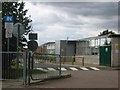
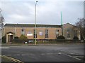
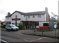
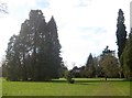
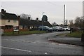
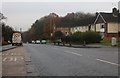
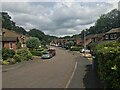
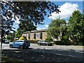
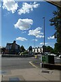
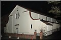
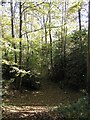
14 photos from this area
Area Information
Key information about the HP1 1TP including its size, population, and administrative classification.
- Area Type
- Postcode
- Area Size
- 8438 m²
- Population
- 1170
- Population Density
- 5755 people/km²
House Prices in HP1 1TP
29
Properties
£244,422
Average Sold Price
£64,500
Lowest Price
£450,000
Highest Price
Showing 29 properties
| Address | Type | Beds | Baths | Last Sale Price | Last Sale Date | |
|---|---|---|---|---|---|---|
| 48 Parkhill Road, Hemel Hempstead, HP1 1TP | Terraced | 4 | 1 | £450,000 | Dec 2025 | |
| 21 Parkhill Road, Hemel Hempstead, HP1 1TP | Terraced | 3 | 1 | £430,000 | Dec 2023 | |
| 62 Parkhill Road, Hemel Hempstead, HP1 1TP | Terraced | 4 | 1 | £442,000 | Mar 2022 | |
| 50 Parkhill Road, Hemel Hempstead, HP1 1TP | Semi-detached | 4 | 1 | £367,750 | Dec 2015 | |
| 46 Parkhill Road, Hemel Hempstead, HP1 1TP | Detached | 4 | 1 | £247,000 | May 2011 | |
| 34 Parkhill Road, Hemel Hempstead, HP1 1TP | house | - | - | £250,000 | May 2010 | |
| 36 Parkhill Road, Hemel Hempstead, HP1 1TP | Terraced | - | - | £223,000 | Nov 2009 | |
| 38 Parkhill Road, Hemel Hempstead, HP1 1TP | house | - | - | £250,000 | Jul 2008 | |
| 52 Parkhill Road, Hemel Hempstead, HP1 1TP | Terraced | - | - | £232,500 | Nov 2007 | |
| 17 Parkhill Road, Hemel Hempstead, HP1 1TP | Terraced | 3 | 1 | £249,000 | Apr 2007 |
Page 1 of 3
Energy Efficiency in HP1 1TP
Amenities
Schools
| Rank | School | Type | Entry gender | Ages |
|---|
Explore more schools in this area
Go to Schools tabDemographics
Household Size
Two person
most common
Accommodation Type
Houses
most common
Tenure
83
majority
Ethnic Group
White
most common
Religion
N/A
most common
Household Composition
N/A
most common
Age
47
median
Adults (30-64 years)
most common
Household Deprivation
N/A
with no deprivation
NS-SEC
49
in Lower managerial occupations
Explore more demographic insights in this area
Go to Demographics tabPlanning
Planning Constraints
- Flood RiskPremium
- Ramsar Wetland SitesPremium
- Area of Outstanding Natural BeautyPremium
- Protected Nature ReservePremium
- Protected WoodlandPremium