Area Overview for HP1 1TH
Photos of HP1 1TH
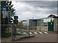
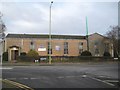
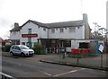
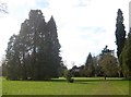
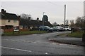
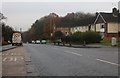
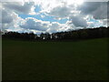
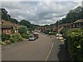
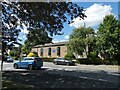
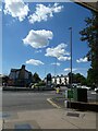
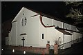
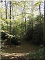
14 photos from this area
Area Information
Key information about the HP1 1TH including its size, population, and administrative classification.
- Area Type
- Postcode
- Area Size
- 2.7 hectares
- Population
- Not available
- Population Density
- Not available
House Prices in HP1 1TH
20
Properties
£449,154
Average Sold Price
£153,000
Lowest Price
£675,000
Highest Price
Showing 20 properties
| Address | Type | Beds | Baths | Last Sale Price | Last Sale Date | |
|---|---|---|---|---|---|---|
| 10 Lockers Park Lane, Hemel Hempstead, HP1 1TH | Semi-detached | 3 | 2 | £500,000 | Jul 2025 | |
| 2 Lockers Park Lane, Hemel Hempstead, HP1 1TH | Detached | 4 | 2 | £550,000 | Sep 2024 | |
| 14 Lockers Park Lane, Hemel Hempstead, HP1 1TH | Semi-detached | 3 | 1 | £525,000 | Jan 2023 | |
| 36 Lockers Park Lane, Hemel Hempstead, HP1 1TH | house | - | - | £525,000 | Jan 2023 | |
| 26 Lockers Park Lane, Hemel Hempstead, HP1 1TH | house | 2 | 1 | £435,000 | Jun 2021 | |
| 12 Lockers Park Lane, Hemel Hempstead, HP1 1TH | house | - | - | £345,000 | Jul 2020 | |
| Fairways, 24 Lockers Park Lane, Hemel Hempstead, HP1 1TH | Detached | 4 | 1 | £675,000 | Feb 2020 | |
| 1 Lockers Park Lane, Hemel Hempstead, HP1 1TH | house | - | - | £670,000 | Jun 2017 | |
| 30 Lockers Park Lane, Hemel Hempstead, HP1 1TH | house | 4 | 3 | £515,000 | Dec 2013 | |
| 28 Lockers Park Lane, Hemel Hempstead, HP1 1TH | house | 5 | 4 | £450,000 | Mar 2010 |
Page 1 of 2
Energy Efficiency in HP1 1TH
Amenities
Schools
| Rank | School | Type | Entry gender | Ages |
|---|
Explore more schools in this area
Go to Schools tabDemographics
Household Size
One person
most common
Accommodation Type
Flats
most common
Tenure
50
majority
Ethnic Group
White
most common
Religion
N/A
most common
Household Composition
N/A
most common
Age
47
median
Adults (30-64 years)
most common
Household Deprivation
N/A
with no deprivation
NS-SEC
36
in Lower managerial occupations
Explore more demographic insights in this area
Go to Demographics tabPlanning
Planning Constraints
- Flood RiskPremium
- Ramsar Wetland SitesPremium
- Area of Outstanding Natural BeautyPremium
- Protected Nature ReservePremium
- Protected WoodlandPremium