Area Overview for HP1 1PL
Photos of HP1 1PL
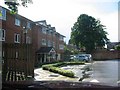
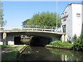
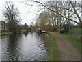
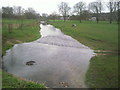
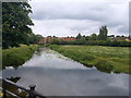
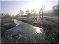
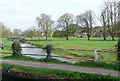
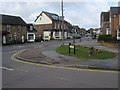
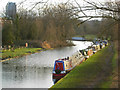
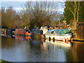
69 photos from this area
Area Information
Key information about the HP1 1PL including its size, population, and administrative classification.
- Area Type
- Postcode
- Area Size
- 1.3 hectares
- Population
- 1537
- Population Density
- 2835 people/km²
House Prices in HP1 1PL
44
Properties
£308,414
Average Sold Price
£190,000
Lowest Price
£430,000
Highest Price
Showing 44 properties
| Address | Type | Beds | Baths | Last Sale Price | Last Sale Date | |
|---|---|---|---|---|---|---|
| 86 Beechfield Road, Hemel Hempstead, HP1 1PL | house | 2 | 1 | £385,000 | May 2023 | |
| 104 Beechfield Road, Hemel Hempstead, HP1 1PL | house | - | - | £360,000 | Sep 2021 | |
| 92 Beechfield Road, Hemel Hempstead, HP1 1PL | house | 3 | 1 | £380,000 | Mar 2021 | |
| 128 Beechfield Road, Hemel Hempstead, HP1 1PL | Terraced | 2 | 1 | £350,000 | Jan 2021 | |
| 64 Beechfield Road, Hemel Hempstead, HP1 1PL | house | - | - | £430,000 | Nov 2020 | |
| 138 Beechfield Road, Hemel Hempstead, HP1 1PL | Flat | - | - | £246,000 | Jun 2020 | |
| 130 Beechfield Road, Hemel Hempstead, HP1 1PL | house | - | - | £330,000 | Apr 2020 | |
| 94 Beechfield Road, Hemel Hempstead, HP1 1PL | Terraced | 2 | 1 | £315,000 | Feb 2020 | |
| 76 Beechfield Road, Hemel Hempstead, HP1 1PL | Terraced | 2 | 1 | £337,500 | Mar 2019 | |
| 66 Beechfield Road, Hemel Hempstead, HP1 1PL | Terraced | 2 | 1 | £380,000 | Jul 2018 |
Page 1 of 5
Energy Efficiency in HP1 1PL
Amenities
Schools
| Rank | School | Type | Entry gender | Ages |
|---|
Explore more schools in this area
Go to Schools tabDemographics
Household Size
One person
most common
Accommodation Type
Houses
most common
Tenure
59
majority
Ethnic Group
White
most common
Religion
N/A
most common
Household Composition
N/A
most common
Age
47
median
Adults (30-64 years)
most common
Household Deprivation
N/A
with no deprivation
NS-SEC
42
in Lower managerial occupations
Explore more demographic insights in this area
Go to Demographics tabPlanning
Planning Constraints
- Flood RiskPremium
- Ramsar Wetland SitesPremium
- Area of Outstanding Natural BeautyPremium
- Protected Nature ReservePremium
- Protected WoodlandPremium