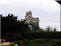
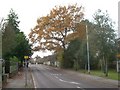
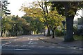
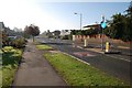
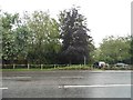
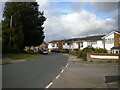
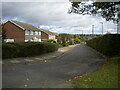
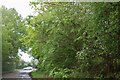
Area Overview for Hitchin Highbury Ward
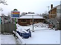
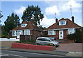
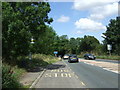
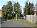
Photos of Hitchin Highbury Ward
Area Information
Living in Hitchin Highbury Ward offers a compact and established environment within the district borough unitary ward of Hitchin. This area covers just 1.5 km², creating a defined neighbourhood where daily amenities are likely within walking distance. The location sits firmly in England, benefiting from a local setting that avoids major planning constraints such as Areas of Outstanding Natural Beauty or protected woodland. You will find a residential zone free from the strict limitations of Ramsar wetland sites or designated protected nature reserves, meaning future developments face fewer environmental barriers compared to other rural pockets. The community feels settled, with a median age of 70 suggesting a large older demographic resides here. There are no indications of high flood risk, with the area passing safety assessments with a score of 3.47 low on a risk scale. This stability makes it an attractive option for those seeking a quiet, low-maintenance lifestyle without the anxiety of environmental hazards. The combination of a small footprint, established housing stock, and minimal planning restrictions defines the distinctive character of Hitchin Highbury Ward. It is a place where residents enjoy a predictable environment, far from the urban rush while remaining connected to the wider region.
- Area Type
- District Borough Unitary Ward
- Area Size
- 1.5 km²
- Population
- Not available
- Population Density
- Not available
Demographics
The community in Hitchin Highbury Ward is characterised by an older population, with a median age standing at 70. This figure indicates that the majority of residents are likely retirees or older adults rather than young families. The high concentration of older-age households suggests a neighbourhood suited to those valuing quiet and stability over youthful energy. Home ownership is a dominant feature of this demographic picture, with 74% of households owning their properties outright or with a mortgage. This high rate of ownership typically correlates with long-term residents who have put down deep roots in the area. With such a high proportion of owner-occupied homes, the social fabric tends to be stable and established. The data does not specify detailed breakdowns for ethnicity, religion, or specific age ranges beyond the median age, but the overall profile points toward a homogenous, mature community. Households are primarily composed of individuals or couples, rather than large multi-generational families. This demographic structure means local services and social activities may cater specifically to the needs of seniors. If you are considering living in Hitchin Highbury Ward, be aware that the social scene will reflect these age-weighted statistics, offering a peaceful environment but potentially fewer amenities geared toward children or young professionals.
Household Size
Accommodation Type
Tenure
Ethnic Group
Religion
Household Composition
Age
Household Deprivation
NS-SEC
Explore more demographic insights in this area
Go to Demographics tabPlanning
Planning Constraints
- Flood RiskPremium
- Ramsar Wetland SitesPremium
- Area of Outstanding Natural BeautyPremium
- Protected Nature ReservePremium
- Protected WoodlandPremium
- Crime RiskPremium