Area Overview for Hertford Bengeo Ward
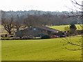
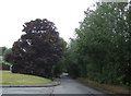
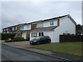
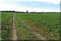
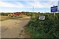
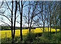
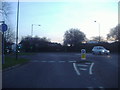
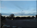
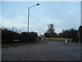
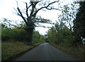
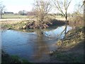
Photos of Hertford Bengeo Ward

Area Information
Living in Hertford Bengeo Ward offers a compact, quiet existence within a 7.1 km² locality in Hertfordshire, England. The ward is distinct for its small scale, housing just 1,367 residents across the district borough. This low density creates a neighbourhood where distance is minimal and the community feels intimate. With an average of roughly 194 people per square kilometre, the area avoids the congestion of larger urban centres while retaining essential access to local services. The environment is defined by its exclusivity; it contains no Ramsar wetland sites, Areas of Outstanding Natural Beauty, or protected nature reserves. Instead, the landscape features limited areas of protected woodland, which contributes to a green setting without imposing significant planning restrictions on future development. You will find a community that values stability and tradition over rapid growth. The small population size means that daily life operates at a slower pace, suitable for those seeking anonymity and peace. There are no large commercial hubs within the ward boundaries, which implies that essential shopping and entertainment rely on neighbouring towns. This layout suits residents who already have established routines or who prefer a rural hinterland lifestyle. The area stands alone as a self-contained entity, yet it remains connected to the wider Hertfordshire network. For those considering homes in Hertford Bengeo Ward, the primary appeal lies in the sheer tranquility and the lack of intrusive infrastructure. Every decision regarding your daily commute or local activities will be influenced by this specific geographic reality.
- Area Type
- District Borough Unitary Ward
- Area Size
- 7.1 km²
- Population
- 1367
- Population Density
- 194 people/km²
Demographics
The community in Hertford Bengeo Ward is characterised by a population with a median age of seventy years. This demographic profile indicates that the ward is populated primarily by older residents, likely retirees or long-term locals who have stayed through changing decades. The vast majority of households are owner-occupied, with 74 per cent of homes held outright or with a mortgage. This high rate of ownership suggests a stable community where residents have deep roots in the area. Long-term tenancy or frequent turnover of housing stock is uncommon here. Accommodation types in this ward reflect this stable, older population, though specific breakdowns by dwelling style are not detailed in current records. The household composition aligns with the age data, implying many single-person homes or family units where children have long since left. You will not find a youthful, transient population typical of university towns or developing business districts. Instead, the social fabric is built around shared longevity and established neighbourhood ties. The total population count remains low at 1,367, which reinforces the feeling of a close-knit society. When you move to Hertford Bengeo Ward, you join a group where neighbours often know each other personally. The demographic consistency means that local shops, schools, and community groups cater specifically to the needs of mature residents rather than young families or students.
Household Size
Accommodation Type
Tenure
Ethnic Group
Religion
Household Composition
Age
Household Deprivation
NS-SEC
Explore more demographic insights in this area
Go to Demographics tabPlanning
Planning Constraints
- Flood RiskPremium
- Ramsar Wetland SitesPremium
- Area of Outstanding Natural BeautyPremium
- Protected Nature ReservePremium
- Protected WoodlandPremium
- Crime RiskPremium