Area Overview for Hemley
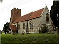
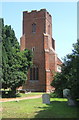
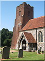
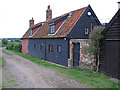
Photos of Hemley
Area Information
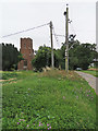
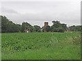
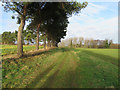
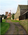
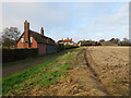
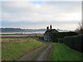
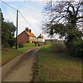
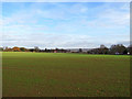
Living in Hemley offers a distinctly rural experience within a civil parish that covers just 3.4 square kilometres. This small footprint meanseverything happens within a compact geographical area, likely fostering a tight-knit community feel despite its location in England. The area is defined by its limited size and specific environmental constraints rather than rapid expansion. You will find a settlement where the pace of life is dictated by natural boundaries and established housing patterns. There is little room for sprawl, which might appeal to those seeking a quiet retreat away from dense urban centres. The character of Hemley is shaped by these physical limits and the existing built environment. When exploring homes in Hemley, you are looking at a specific, contained landscape rather than a developing municipality. This locality provides a straightforward setting where the environment and the built area remain static. The parish nature of the location suggests a long-standing history of residence rather than recent development. Your daily life here revolves around the immediate surroundings of this small 3.4 km² territory without major infrastructure changes likely occurring nearby.
- Area Type
- Parish
- Area Size
- 3.4 km²
- Population
- Not available
- Population Density
- Not available
Demographics
The community in Hemley is defined by an older population profile, with a median age of 70 years. This demographic reality means the area predominantly houses retirees rather than young families or school-age demographics. You are moving into a neighbourhood where the majority of residents fall into this senior age bracket. The high homeownership rate of 78 per cent further strengthens the impression of a settled, static community. Most people in Hemley have purchased their homes and stayed, creating an environment where relocation is less common than in younger districts. Household composition reflects these age demographics, with fewer young couples and children compared to the national average. The consistent ownership figures indicate that most accommodation is occupied by long-term residents who have secured their property. When examining living in Hemley, you encounter a community with very clear generational characteristics. The steady 78 per cent ownership statistic suggests financial stability among the current population. There is no data on ethnic diversity or religion in the available records, so the focus here remains on the clear age and ownership patterns. This profile defines the social fabric of this parish.
Household Size
Accommodation Type
Tenure
Ethnic Group
Religion
Household Composition
Age
Household Deprivation
NS-SEC
Explore more demographic insights in this area
Go to Demographics tabPlanning
Planning Constraints
- Flood RiskLocked
- Ramsar Wetland SitesLocked
- Area of Outstanding Natural BeautyLocked
- Protected Nature ReserveLocked
- Protected WoodlandLocked
- Crime RiskLocked